
Ontario offers thousands of kilometres of breathtaking ATV trails, from the dense forests of the Canadian Shield to the rolling hills of the Kawarthas. But to explore them safely and legally, you need the right tools. A reliable map is not just a convenience; it is essential for understanding trail status, permit requirements, and land access rules, especially when navigating areas that mix club trails with Crown land. The challenge is that no single map or app provides a complete picture for the entire province.
This guide cuts through the noise to bring you the top resources for ATV trail maps in Ontario. We detail the official club systems, powerful offline apps, and crucial Crown land atlases you need to build a comprehensive navigation toolkit. We will analyze the practical strengths and weaknesses of each option, helping you choose the right combination for your specific needs, whether you are planning a multi-day trip or just a day ride on local trails.
Each entry includes a direct link and a clear overview of its best use case, from the provincially recognized OFATV interactive guide to specialized offline apps like Avenza. Get ready to find the most accurate and up-to-date maps to plan your next off-road adventure with confidence.
1. OFATV Provincial Trail Guide + QuadON
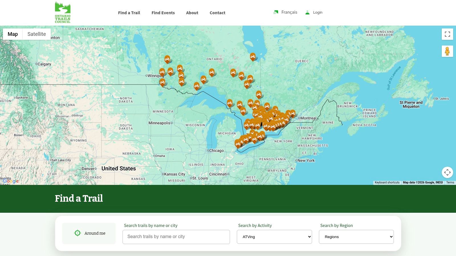
For any rider sticking to the official, club-managed ATV trail system in Ontario, the Ontario Federation of ATV Clubs (OFATV) interactive map is the undisputed starting point. It's the most authoritative source for sanctioned trails, providing a comprehensive view of the entire network from a single hub. This platform is essential for ensuring your route is legal, open, and supported by a local club.
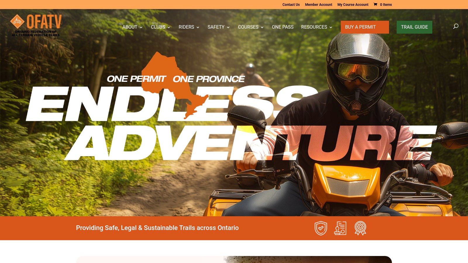
The platform’s major strength is its integration with the OFATV permit system. Paired with the QuadON mobile app, riders can not only plan routes but also purchase and manage their trail passes directly. The app provides your GPS location on the map and allows for downloading sections for offline use, which is critical in areas with poor cellular reception. It stands out by offering real-time trail status updates (open, closed, or caution) fed directly from the clubs responsible for maintenance.
Key Features & User Experience
| Feature | Description | Practical Use Case |
|---|---|---|
| Official Trail Status | Displays real-time open/closed conditions set by local clubs. | Checking your planned route the morning of a ride to avoid closures due to washouts or logging activity. |
| Integrated Permit System | Buy and display your OFATV permit directly within the QuadON app. | Eliminates the need for a physical permit sticker and simplifies compliance checks. |
| Offline Maps | Download trail maps to your phone for use without a data connection. | Navigating remote trail sections in Northern Ontario where cell service is non-existent. |
| Points of Interest (POIs) | Shows locations for fuel, food, lodging, and parking near the trails. | Planning a multi-day trip and identifying necessary stops for fuel and supplies along your route. |
Website: https://ofatv.org
2. Eastern Ontario Trails Alliance (EOTA) – The Trail
For riders focusing on the vast multi-use network in Eastern Ontario, The Trail website from the Eastern Ontario Trails Alliance (EOTA) is the essential resource. It serves as the official hub for this specific region, offering a one-stop-shop for purchasing passes, planning routes, and understanding the unique rules of their extensive trail system. This platform is ideal for those planning multi-day tours or looking for reliable ATV trail maps in Ontario's eastern corridor.
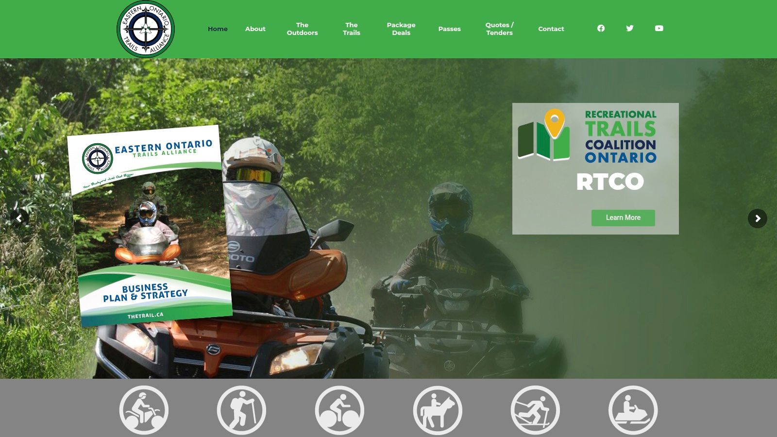
The EOTA’s major strength is its focus on long-distance, connected touring routes. The website provides a clear pass-purchasing system and an interactive map that highlights suggested loops and points of interest across its 700+ km network. While it doesn't have a dedicated mobile app like QuadON, it stands out by offering a more traditional option: the ability to request a physical, printed map by mail. This is a significant advantage for riders who prefer a paper backup or want a large-format overview of the entire region before they head out.
Key Features & User Experience
| Feature | Description | Practical Use Case |
|---|---|---|
| Regional Focus | Map and resources are dedicated solely to the EOTA's multi-use trail system. | Easily planning a weekend trip from Ottawa to Bancroft without needing to filter out other provincial trail networks. |
| Online Pass Purchase | A streamlined process to buy day, multi-day, or annual trail passes directly on the site. | Buying a 3-day pass online before your trip and having the email receipt ready for immediate trail access. |
| Printed Map Request | Users can request a physical, mailed copy of the official trail map. | Ordering a map weeks in advance to mark up a detailed route with fuel stops and overnight lodging. |
| Interactive Web Map | An online map showing the trail network, key towns, and suggested touring loops. | Using the web map on a tablet at your hotel to finalize the next day's route and identify key junctions. |
Website: https://www.thetrail.ca
3. Backroad Mapbooks (BRMB)
For riders venturing beyond organized club trails onto Crown land, logging roads, and unmaintained routes, Backroad Mapbooks (BRMB) is an indispensable resource. BRMB specializes in detailed topographic maps that highlight motorized trails, offering a broader view of Ontario's backcountry than club-specific systems. Their products are geared toward offline use, making them a reliable choice for remote expeditions where cell service is a luxury, not a guarantee.
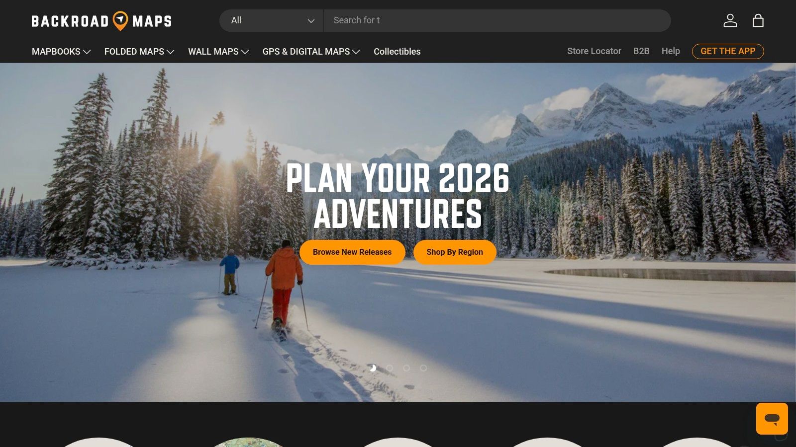
The key advantage of BRMB is its multi-platform availability, catering to every type of navigator. You can get classic spiral-bound mapbooks for a battery-free overview, purchase Garmin-compatible GPS maps on a microSD card for in-vehicle units, or use their web/app platform. While BRMB provides some of the most detailed ATV trail maps Ontario explorers can find, it's crucial to remember these are not live-status maps. Users must always verify trail legality and local permit requirements, as access conditions can change without notice.
Key Features & User Experience
| Feature | Description | Practical Use Case |
|---|---|---|
| Multi-Platform Access | Available as printed mapbooks, Garmin GPS maps (microSD), and a subscription-based app/web map. | Using the printed book for big-picture planning at camp and the Garmin map for real-time turn-by-turn navigation on the trail. |
| Extensive POI Data | Includes campsites, fishing spots, boat launches, and other recreational points of interest. | Locating a remote lake for a lunch break or finding a designated campsite near your ATV route. |
| Crown Land Layering | Clearly delineates Crown and private land boundaries on their digital and GPS products. | Ensuring your ride stays on public land and avoiding accidental trespassing, which is also useful information for those using an Ontario hunting WMU map. |
| Robust Offline Capability | The core products (books and GPS maps) require no cellular or data connection to function. | Confidently navigating through the vast wilderness of Algoma Country or Northern Ontario without worrying about losing signal. |
Website: https://backroadmapbooks.com
4. Avenza Maps + Avenza Map Store
For riders seeking an offline-first solution beyond official club apps, Avenza Maps is a powerful tool. It functions as a mobile map viewer that uses your phone's built-in GPS to place you on high-resolution PDF or GeoTIFF maps, working entirely without a cellular signal. The platform's strength lies in its extensive Avenza Map Store, where you can find and purchase a wide variety of Ontario-specific maps from different publishers, including some local ATV clubs and regional tourism offices.
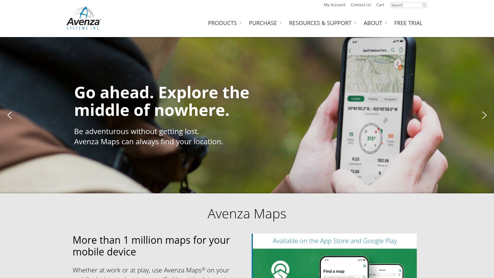
Avenza stands out by offering georeferenced versions of familiar paper maps, such as Backroad Mapbooks, which provide rich topographic detail and points of interest that dedicated trail apps might miss. While it doesn't offer live trail status or permit integration, it excels as a standalone navigation and track-recording tool. It is ideal for exploring Crown Land or areas where official trail systems are sparse, providing excellent context for your surroundings and a reliable way to find your way back.
Key Features & User Experience
| Feature | Description | Practical Use Case |
|---|---|---|
| Offline GPS Positioning | Uses your phone's GPS to show your real-time location on a static map image. | Navigating deep in a forest where no cell towers exist, using a downloaded regional map as your guide. |
| Extensive Map Store | A digital marketplace to buy and download free and paid maps for specific regions. | Purchasing a detailed map for the Haliburton Highlands or Algoma Country to supplement your main trail app. |
| Track & Waypoint Tools | Record your route, drop placemarks, attach photos, and measure distances. | Marking a scenic lookout, a tricky water crossing, or the location of your parked truck to easily find it later. |
| Map Import Function | Users can import their own georeferenced PDF maps. | Loading a custom-made map of a private property or a specific event route provided by an organizer. |
Website: https://www.avenza.com/avenza-maps/
5. Polaris RIDE COMMAND
Beyond the official federation maps, Polaris RIDE COMMAND has emerged as a powerful, free off-road mapping platform widely adopted by riders and clubs across the province. It functions as both a web-based planner and a mobile app, offering a robust collection of trails often uploaded directly by local Ontario clubs. Its strength lies in its user-friendly interface and advanced social and navigational features that go beyond simple trail viewing.
The platform excels at route creation with its "snap-to-trail" feature, which simplifies planning complex rides. Its Group Ride functionality is a standout, allowing you to see your friends’ locations in real-time on the map, a significant safety and coordination benefit. While it contains many official ATV trail maps for Ontario, its coverage depends on club participation and user uploads, so it shouldn't be treated as the single source for legal trail status or permit requirements.
Key Features & User Experience
| Feature | Description | Practical Use Case |
|---|---|---|
| Snap-to-Trail Routing | Automatically plots a route that follows known trails between two points. | Quickly creating a multi-trail loop for a day trip without manually tracing each path. |
| Group Ride Feature | See the live location of other riders in your group on the map. | Keeping track of your riding party in dense forests or at complex trail intersections. |
| Offline Maps | Download detailed map regions, including trails and topography, for offline use. | Navigating remote areas like the Algoma region where cellular service is unavailable. |
| Community Sourced POIs | Includes a wide range of points of interest added by the community. | Finding a lesser-known scenic lookout or a rider-recommended lunch spot along your route. |
Website: https://ridecommand.polaris.com
6. Park to Park Trail (Parry Sound–Algonquin corridor)
For riders exploring the beautiful region between Parry Sound and Algonquin Park, the Park to Park Trail website is an indispensable resource. It's not a province-wide map, but rather a focused, detailed guide for this specific multi-use trail corridor. Its value lies in providing hyper-local information that larger platforms might miss, making it essential for planning day trips or multi-day excursions in this popular riding area.
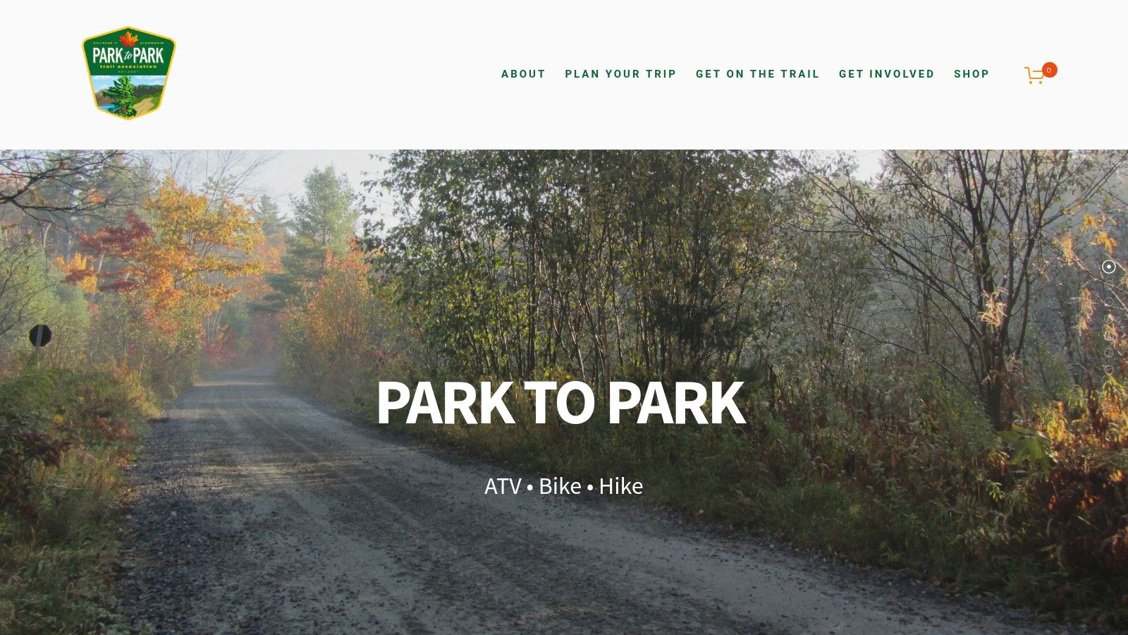
This website excels at breaking down the trail into manageable sections. It provides clear details on access points, staging areas with parking, and crucial seasonal rules that can vary from one part of the trail to another. Because the corridor crosses different municipal and management jurisdictions, the site clarifies which sections are motorized, non-motorized, or require specific permits. This level of detail helps riders avoid accidentally trespassing or riding on prohibited sections, ensuring a compliant and enjoyable trip.
Key Features & User Experience
| Feature | Description | Practical Use Case |
|---|---|---|
| Section-by-Section Details | In-depth pages for trail segments with access, parking, and usage notes. | Planning a day ride from a specific town and needing to know exactly where to park your truck and trailer. |
| Clear Seasonal Rules | FAQs and advisories explain when ATVs are permitted, which can change seasonally. | Verifying if a section is open to ATVs in the spring shoulder season before you haul your machine out. |
| Regional Map Links | Provides web maps and links to regional mapping resources for the corridor. | Getting a high-level overview of the entire trail system to plan a longer, point-to-point ride. |
| Trail Advisories | Up-to-date alerts about closures, detours, or trail conditions. | Checking for last-minute trail washouts or maintenance activity that could disrupt your planned route. |
Website: https://parktoparktrail.org
7. Haliburton ATV Association (HATVA)
For riders exploring one of Ontario's premier ATV destinations, the Haliburton ATV Association (HATVA) website is the central resource. It provides access to one of the largest single, managed trail networks in the province, with over 1,700 km of mapped and signed trails. This platform is essential for anyone planning to ride in the Haliburton region, as it serves as the hub for purchasing the required trail passes and accessing their official map book.
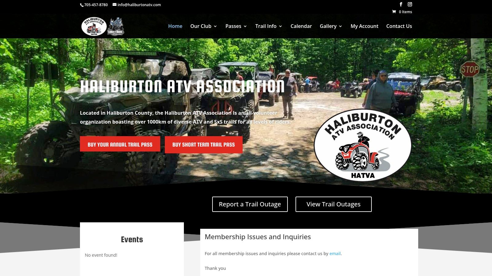
The primary mapping tool offered is the HATVA map book, available as a low-cost physical copy or a digital PDF download. While not an interactive GPS app, this detailed map is invaluable for trip planning and serves as a reliable backup in the field. The website also provides crucial, up-to-date information on trail conditions, closures, and reroutes, which is vital for safe navigation. Access to this high-quality system requires a HATVA membership or a valid OFATV pass, ensuring the trails are well-maintained and funded.
Key Features & User Experience
| Feature | Description | Practical Use Case |
|---|---|---|
| Official Map Book | A detailed, printable, and digital PDF map of the entire 1,700+ km trail network. | Pre-planning a multi-day loop through the Haliburton Highlands and keeping a physical copy as a backup to GPS. |
| Membership & Pass Sales | The official portal for purchasing the required HATVA passes for trail access. | Buying your day or annual pass online before heading out to ensure you can legally ride the system. |
| Trail Condition Updates | News and alerts section on the website detailing trail closures or hazards. | Checking for recent storm damage or logging activity on your intended route before you leave home. |
| Reciprocal Club Access | HATVA passes are honoured on several neighbouring club trails, expanding riding areas. | Using your HATVA membership to legally explore adjacent trail systems like the Algonquin West ATV Club. |
Website: https://haliburtonatv.com
8. Kawartha ATV Association (KATVA)
For riders exploring the popular Kawartha Lakes and Peterborough areas, the Kawartha ATV Association (KATVA) website is an essential local resource. While the OFATV map provides the official provincial overview, KATVA offers downloadable maps and detailed regional information that is invaluable for local planning. It excels at clarifying specific access rules, road connections, and trail characteristics unique to its network.
The platform’s strength lies in its focused, regional detail. It provides static maps highlighting key trails like the Victoria Rail Trail, along with crucial details on staging areas, parking, and specific bylaws. This hyper-local focus makes it a perfect supplement to province-wide apps, giving riders the ground-level knowledge needed to navigate the area confidently. The club is also proactive in providing updates and support for integrating their trail data with platforms like Polaris Ride Command.
Key Features & User Experience
| Feature | Description | Practical Use Case |
|---|---|---|
| Downloadable PDF Maps | Static maps of the core trail system and road links available for download. | Printing a hard copy of the Victoria Rail Trail map as a physical backup before your trip. |
| Staging & Parking Info | Detailed descriptions and locations for official trail access points. | Finding the best place to park your truck and trailer near Fenelon Falls to start your ride. |
| Local Rules & Bylaws | Information on permitted vehicle widths, road access rules, and local regulations. | Confirming which specific town roads are legal to use to connect two different trail sections. |
| Ride Command Support | Active guidance and files for riders using the Polaris Ride Command system. | Downloading the KATVA trail file to upload directly to your Polaris GPS unit for seamless navigation. |
Website: https://katva.ca
9. Algonquin West ATV Club
For riders exploring the beautiful region west of Algonquin Park, the Algonquin West ATV Club (AWATV) provides an excellent, focused resource for its 350+ kilometres of managed trails. Their online platform is a prime example of how local clubs offer detailed, ground-level information that larger provincial maps might miss. It serves as the primary source for planning excursions specifically within their network, connecting key areas like Kearney, Burk's Falls, and Sprucedale.
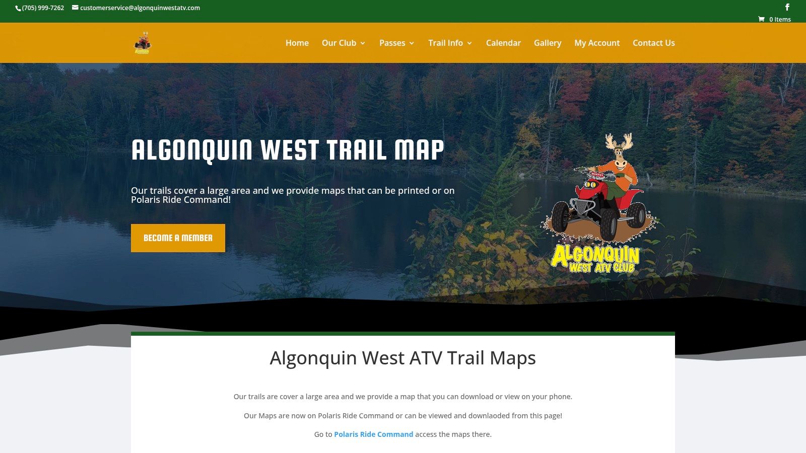
The club's standout feature is its seamless integration with popular GPS navigation apps, particularly Polaris RIDE COMMAND. Instead of being locked into a proprietary system, AWATV allows riders to easily access their trail data on a familiar, powerful platform. This approach makes getting their specific atv trail maps for this part of Ontario into a functional, offline-capable mobile app incredibly straightforward. It also ensures riders can navigate using a tool they may already own and trust for their machine.
Key Features & User Experience
| Feature | Description | Practical Use Case |
|---|---|---|
| Online Map Viewer | A simple, full-screen map hosted on the club's website. | Quickly viewing the entire trail system on a desktop to plan a day's route before heading out. |
| Ride Command Integration | The club's official trail network is available within the Polaris RIDE COMMAND app. | Loading the trail system directly onto your GPS unit or phone for live, turn-by-turn navigation without cell service. |
| Downloadable PDF Map | A printable map is available for those who prefer a physical backup. | Printing a copy to keep in a waterproof bag as a reliable, no-fail reference during your ride. |
| Club-Specific POIs | Highlights points of interest and trail-side services relevant to the local area. | Finding the designated staging area in Kearney or locating a club-friendly lunch spot mid-ride. |
Website: https://algonquinwestatv.com/map/
10. Ontario Trails Council – ATVing Trail Directory
The Ontario Trails Council (OTC) serves as a broad directory rather than a dedicated mapping tool. Its value lies in discovery, helping riders find local trail systems and clubs that may operate outside the major federations. Think of it as a comprehensive phonebook for Ontario's diverse trail networks, connecting you to the source organizations for specific maps, permits, and local rules.
This platform excels at identifying lesser-known or independent riding areas across the province. Instead of providing an interactive map itself, it offers a searchable index of over 100 ATV-friendly trails, each with a brief description and a direct link to the managing club or land authority. This makes it an excellent starting point for planning trips to new regions where you're unsure which clubs manage the local trails, including those that might cross onto private land or are situated on public lands.
Key Features & User Experience
| Feature | Description | Practical Use Case |
|---|---|---|
| Searchable Index | A directory of 100+ ATV listings, filterable by region and activity. | You're planning a trip near Algonquin Park and use the OTC to find three local clubs in the area you didn't know existed. |
| Direct Club Links | Each listing provides a link to the official club or land manager's website. | Finding the correct website to purchase a trail pass for a non-OFATV club or to check for specific local bylaws. |
| Regional Discovery | Helps locate trails and organizations on a regional basis. | Exploring new riding opportunities in Southwestern Ontario and identifying all available trail networks in one place. |
| Multi-Use Info | Often provides context on whether trails are shared with hikers or other users. | Determining if a route is ATV-exclusive or if you need to watch for other recreational users during your ride. |
Website: https://www.ontariotrails.on.ca/find-a-trail/all-regions/all-cities/atving
11. Ontario Crown Land Use Policy Atlas
While not a trail map in the traditional sense, the Ontario Crown Land Use Policy Atlas (CLUPA) is an indispensable resource for riders venturing beyond official club trails. This government-run interactive tool is the definitive source for understanding land use designations on Crown land. It’s essential for legally confirming where motorized vehicle use is permitted, making it a critical planning step before exploring unmaintained routes or Crown land access roads.
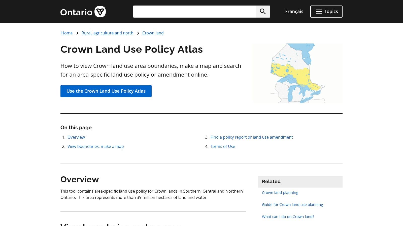
The platform’s strength is its authority; it provides the official policy reports that govern activities on specific parcels of land. For ATV riders, this means you can check if a "General Use Area" allows for trails or if you're entering a conservation reserve where motorized access is restricted. It serves as a vital legal complement to other atv trail maps ontario resources, ensuring your planned adventure doesn’t lead to trespassing or fines. If you want to dive deeper, you can learn more about finding Crown Land in Ontario and interpreting these policies.
Key Features & User Experience
| Feature | Description | Practical Use Case |
|---|---|---|
| Official Land Use Policies | Displays authoritative data on Crown land designations and permitted activities. | Cross-referencing a trail found on a satellite map to confirm it passes through a General Use Area, not a protected zone. |
| Interactive Map Layers | Allows users to view specific policy areas, waterbodies, and administrative boundaries. | Identifying the boundaries of a specific park or conservation reserve to ensure your route stays outside of it. |
| Detailed Policy Reports | Generates reports for selected areas detailing specific land use intent and rules. | Reading the official report for an area to see if there are specific restrictions on motorized vehicle travel. |
| Open Data Access | Provides geographic data files for use in third-party GIS software. | Advanced users can download Crown land layers to overlay onto their own custom GPS maps for offline use. |
Website: https://www.ontario.ca/page/crown-land-use-policy-atlas
12. onX Offroad
While many resources focus on sanctioned club trails, onX Offroad is a powerful commercial app designed for broader off-road exploration. It serves as an excellent discovery tool, featuring a curated catalogue of trails across the province, complete with photos, detailed descriptions, and difficulty ratings. This platform excels at providing a polished, all-in-one mobile navigation experience for riders looking to find new routes beyond the official club networks.
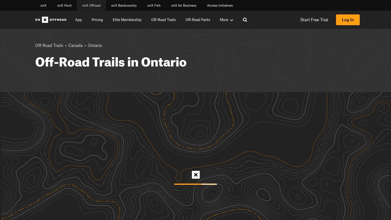
The app’s strength lies in its user-friendly interface and robust feature set, including high-resolution offline maps, 3D baselayers, and a route builder. However, it is not an authoritative source for legal access or trail permit requirements in Ontario. Riders must use it as a supplementary guide and always verify land use permissions and club trail status locally. Full functionality, including offline maps, requires a paid Premium or Elite subscription.
Key Features & User Experience
| Feature | Description | Practical Use Case |
|---|---|---|
| Ontario Trail Catalogue | A curated database of off-road trails with photos and difficulty ratings. | Discovering a new, challenging trail in the Haliburton area that isn't part of your usual club loop. |
| Offline Maps | Download high-resolution satellite, topo, and 3D maps for offline use. | Navigating a remote route through Crown land in Northern Ontario without relying on a cell signal. |
| Route Builder & Tracking | Plan custom routes on your computer and track your ride on your phone. | Creating a multi-day trip itinerary and sharing the GPX file with your riding group beforehand. |
| Public Land Layers | Displays boundaries for different types of public land, including Crown land. | Verifying you are staying within permissible Crown land boundaries while exploring unmaintained access roads. |
Website: https://www.onxmaps.com/offroad/trails/ca/ontario
12 Ontario ATV Trail Map Resources — Comparison
| Service | Core features | Quality (★) | Price / Value (💰) | Audience (👥) | USP (✨ / 🏆) |
|---|---|---|---|---|---|
| OFATV Provincial Trail Guide + QuadON | Province‑wide club trail map, real‑time open/closed, permit management, offline QuadON maps | ★★★★ | 💰 Free app + club permit fees | 👥 OFATV riders, permit holders | ✨ Live club status & official permit workflow 🏆 |
| Eastern Ontario Trails Alliance (The Trail) | Interactive map, online pass sales, suggested routes, printable maps | ★★★★ | 💰 Passes (varies by type) | 👥 Touring riders, multi‑day planners | ✨ Route loops + mailed hardcopy maps |
| Backroad Mapbooks (BRMB) | Garmin GPS maps, printed mapbooks, app access (1‑yr) for offline use | ★★★★ | 💰 Paid maps / GPS downloads | 👥 Remote riders, GPS users | ✨ Robust offline GPS formats for vehicles |
| Avenza Maps + Map Store | Offline GPS on purchased maps, track recording, large publisher catalog | ★★★★ | 💰 Mixed (free & paid maps) | 👥 Users needing offline regional maps | ✨ Wide catalog; offline positioning |
| Polaris RIDE COMMAND | Snap‑to‑trail routing, offline maps, ride sharing, web planner | ★★★★ | 💰 Free core features | 👥 Club riders, group/ride organizers | ✨ Strong community tools & device integrations |
| Park to Park Trail (Parry Sound–Algonquin) | Section pages, staging/parking, seasonal rules, web maps | ★★★ | 💰 Free info | 👥 Day riders, local planners | ✨ Section‑by‑section operational detail |
| Haliburton ATV Association (HATVA) | Large signed network, digital/printed map book, outage reporting | ★★★★ | 💰 Map book + required passes/membership | 👥 Haliburton region riders | ✨ Dense regional network with club support |
| Kawartha ATV Association (KATVA) | Downloadable trail/road maps, staging info, safety/news | ★★★ | 💰 Free downloads / club passes | 👥 Local riders, connection planners | ✨ Clear local rules & Ride Command support |
| Algonquin West ATV Club | Online club map, downloads, Ride Command integration | ★★★★ | 💰 Club maps; membership/passes | 👥 Local club riders | ✨ Easy planning + Ride Command sync |
| Ontario Trails Council – ATV Directory | Searchable index linking to clubs & land managers, regional filters | ★★★ | 💰 Free directory | 👥 Trail discoverers, planners | ✨ Broad discovery of non‑federation routes |
| Ontario Crown Land Use Policy Atlas | Official Crown land designations, policy overlays, GIS data | ★★★ | 💰 Free (government) | 👥 Legal planners, land‑use researchers | 🏆 Authoritative source for Crown land status ✨ |
| onX Offroad | Trail catalog, difficulty ratings, offline maps, route builder, 3D | ★★★★★ | 💰 Subscription (Premium/Elite) | 👥 Trip planners, discovery seekers | ✨ Polished mobile UX, 3D basemaps & sharing 🏆 |
Building Your Perfect Mapping System for the Trails
Navigating Ontario's vast and varied terrain on an ATV requires more than just a destination; it demands a well-thought-out mapping strategy. As we've explored, the search for the perfect "atv trail maps ontario" solution rarely leads to a single app or website. Instead, the most effective approach is to build a customised, layered system that leverages the strengths of multiple resources, ensuring you are prepared for every scenario from trip planning at home to navigating deep in the backcountry without a cell signal.
The foundation of your system should always be the official club and regional maps. Resources like the OFATV's QuadON app, the EOTA's interactive guide, and maps from specific clubs like HATVA or KATVA are non-negotiable. These are your primary sources for legally accessible, permit-required trails, providing the most current information on trail status, closures, and difficulty ratings. They are the bedrock of responsible and legal riding in organised trail systems.
Layering for Comprehensive Coverage
Once you have your official trail access confirmed, the next step is to layer on resources that fill in the gaps. This is where tools like Backroad Mapbooks (BRMB) and onX Offroad excel, detailing the countless logging roads, unmaintained tracks, and Crown land access points that connect the official networks. For riders who value true off-grid reliability, Avenza Maps offers a powerful solution, allowing you to download high-detail georeferenced maps for offline use, turning your smartphone into a dedicated GPS unit.
A critical, and often overlooked, layer is verifying land use permissions. Before venturing off a designated OFATV trail onto what appears to be public land, cross-referencing with the Ontario Crown Land Use Policy Atlas is essential. This government tool clarifies where general use Crown land ends and where conservation reserves, provincial parks, or other restricted areas begin, preventing accidental and costly trespassing.
From Planning to Execution
Your final mapping system should be a dynamic toolkit, not a static map. Use the provincial and club resources for your macro-level planning to decide which regions to explore. Then, dive into BRMB or onX Offroad to identify specific points of interest, potential campsites, or challenging side routes. Finally, download all necessary offline maps to your device using Avenza or the offline features within your preferred app. This multi-step process ensures you move from broad-stroke planning to granular, in-field execution with confidence. By combining the legal authority of official maps with the detailed coverage of backcountry resources, you create a robust navigation system that keeps you safe, legal, and focused on the adventure.
Ready to add the ultimate layer for hunting and backcountry exploration to your toolkit? While dedicated trail apps get you there, HuntScout tells you exactly where "there" is. With detailed Crown land boundaries, private property lines, and Wildlife Management Unit (WMU) layers, it's the perfect companion for your ATV adventures. Plan your next trip with confidence by visiting HuntScout and see how our maps can transform your time in the Ontario backcountry.

