You reach the trailhead, lose cell service, and open your phone. For most hunters in the US and Canada, the best apps for hunting combine land-ownership boundaries, public-land layers, and downloadable maps. Start with a commercial mapping app for navigation, then use the official wildlife agency's tools to confirm licensing, seasons, and reporting requirements.
The useful test isn't how many layers an app advertises. It's whether your saved map still shows the parcel line, identifies your hunting unit, and helps you find the season information that applies to your hunt. Australian hunters need the same practical answers, but with state forests and public hunting areas rather than a US parcel database.
Choose by the question you need answered:
- Who owns this land? Prioritize parcel information, public-land status, and a verifiable access route.
- Is my season open? Look for unit-specific information linked to the responsible agency.
- Will it work without signal? Test downloaded maps, boundaries, waypoints, and GPS before leaving home.
- Where should I hunt? Compare terrain, wind, scouting records, and unit research rather than trusting a prediction alone.
If you're evaluating a lease or potential purchase, understanding how to evaluate hunting property helps turn an ownership map into useful scouting questions. These recommendations rank tools by those decisions, not by a single overall score.
Table of Contents
- 1. HuntScout
- 2. onX Hunt
- 3. HuntStand
- 4. BaseMap
- 5. HuntWise
- 6. Spartan Forge
- 7. GOHUNT
- 8. iHunter
- 9. HuntFishNY
- 10. My CPW
- How the Leading Hunting Apps Compare on Price, Coverage, Land Data and Offline Maps
- Matching the App to Your Land, Your Season and Your Signal
1. HuntScout
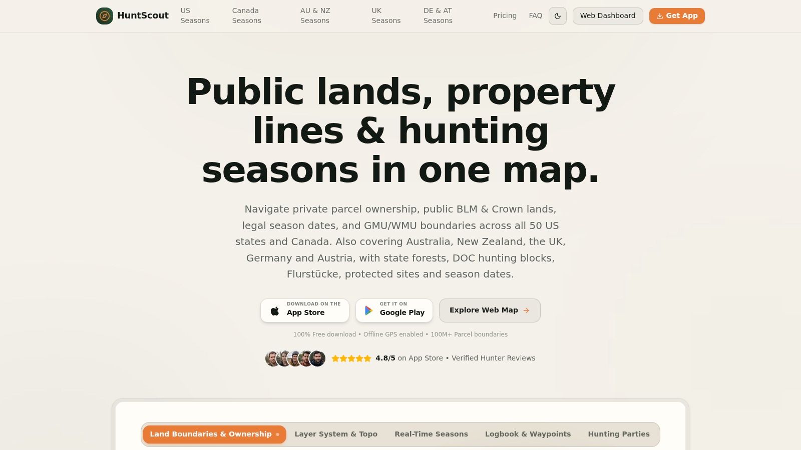
Best for connecting land ownership, hunting units, and season information across countries. Our app runs on iPhone, Android, and the web, and it covers the US and Canada in one tool instead of treating them as separate products. It's also the lower-cost option in this list compared with onX Hunt, HuntStand, and iHunter.
In the US and Canada, HuntScout covers more than 100 million private parcels, with owner names, parcel identifiers, public and Crown land, and GMU or WMU boundaries across all 50 US states and all 10 Canadian provinces. Australia and New Zealand coverage focuses on state forests, DOC hunting blocks, and public hunting areas. Additional resources cover the UK, Germany, and Austria, including Flurstücke, protected sites, and shooting season dates for England, Wales, Scotland, and Northern Ireland. The app itself is fully in German.
What works and what needs checking
Download satellite, topographic, or hybrid maps with private parcel lines and hunting zones before departure. The phone's GPS chip still fixes your position in airplane mode, and offline access covers waypoints, routes, custom folders, weather, and shared hunting-party maps. The logbook records sightings, shot records, and trail-camera locations.
The AI regulations assistant answers questions about rules, licensing, and techniques, but its answer isn't legal authorization. Season summaries link to official wildlife agencies, and hunters should confirm dates, bag limits, and access requirements before hunting.
- Free access: Public-land maps, season dates, zone lookups, web tools, and basic waypoints.
- Pro access: Private parcels, unlimited offline downloads, and advanced layers, with a 7-day free trial; you can upgrade at any time.
- Pricing: Annual plans are sold per region. Check current prices in the App Store, on Google Play, or on huntscout.app before subscribing.
The Apple App Store rating is 4.8 out of 5. The main limitation is regional consistency: North American parcel coverage shouldn't be mistaken for equivalent private-land detail everywhere else, and no boundary overlay grants permission to enter.
2. onX Hunt
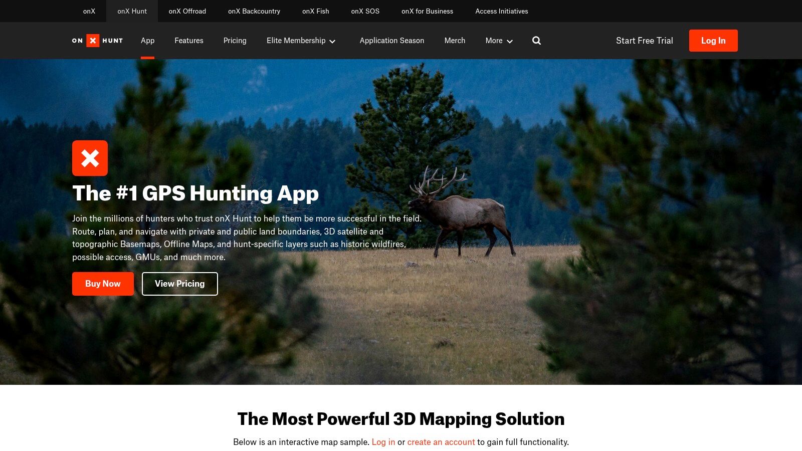
Who owns the ground beyond that fence? onX Hunt is a strong shortlist option when that's your main question. Its ownership information, public-land layers, hunting units, and mobile and desktop planning tools suit hunters scouting unfamiliar US country.
onX Hunt lists annual plans at $34.99 for one state, $49.99 for two states, and $99.99 for Elite nationwide coverage including Canada, with a 7-day trial. The trade-off is straightforward: a local hunter can keep the subscription narrower, while someone crossing state lines needs to compare broader plans.
Best for ownership-first navigation
Satellite, topographic, hybrid, and 3D views help separate habitat questions from access questions. Mark parking, likely entry routes, and alternate exits on desktop, then download the relevant area before heading out.
The app's depth also creates clutter if you leave every layer switched on. Keep ownership and hunting-unit boundaries visible, then add specialized layers only when they answer a specific scouting question.
Field test: A map isn't ready just because you opened it at home. Switch to airplane mode and check the actual boundary, waypoint, and route you'll need.
This guide to offline hunting maps explains the distinction between viewing a map and saving one for disconnected use. Canadian coverage deserves a location-specific check; don't assume the US ownership experience transfers unchanged, and don't select it for Australian access without confirming suitable local layers.
3. HuntStand
Managing stands is different from finding a public-land trailhead. HuntStand fits hunters organizing a property, especially when several people need shared reference points and a clear stand-management system.
HuntStand covers all 50 US states and most of Canada, with a free tier, Pro at $34.99 annually, and Ultimate at $99.99 annually. Property information, public hunting-land maps, drawing tools, and custom markers sit alongside paid offline mapping and stand-reservation functions.
Best for a property you hunt repeatedly
A useful property map should distinguish a stand from its access route. Draw the approach separately, mark gates and parking, and label locations consistently so a hunting partner doesn't confuse a stand name with a meeting point.
- Strong fit: Shared properties, multiple stands, and repeat scouting where organized records matter.
- Paid-plan consideration: Ownership information and advanced mapping require a subscription.
- Higher-tier consideration: Activity forecasts and rut tools add cost without replacing local observations.
Its forecasting tools are less compelling if you mainly need a clean map for occasional public-land trips. Canadian layers also vary by region, and Australian hunters should confirm relevant local coverage before treating it as a primary navigation tool.
For recurring property use, compare how easily you can connect a location with a sighting or harvest record. A hunting app for tracking harvest should make recording useful details quick enough that you'll do it after the hunt.
4. BaseMap
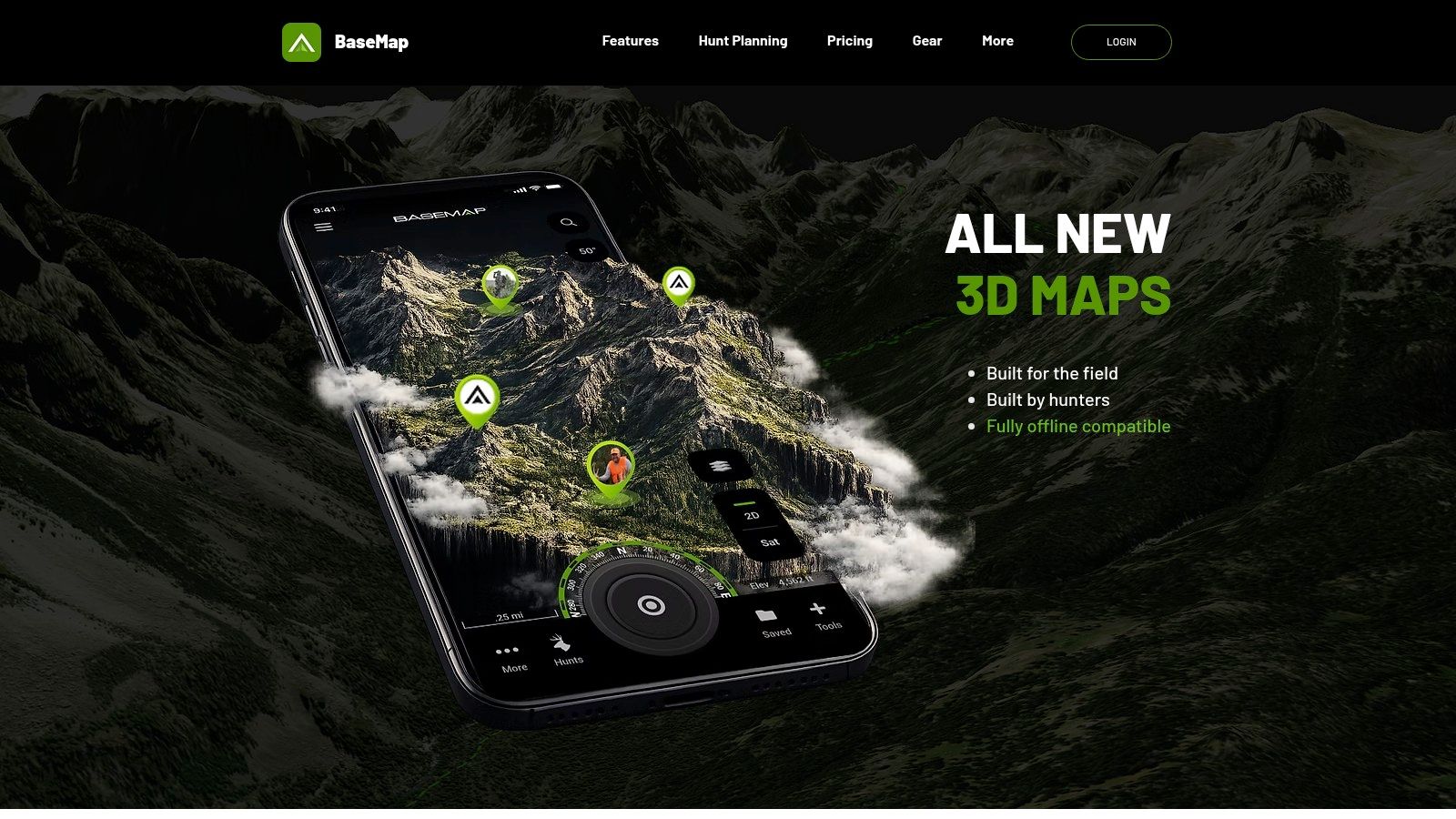
Which unit is worth researching before you apply? BaseMap combines US land-ownership mapping with hunt-planning information, making it relevant to western big-game hunters who want research and navigation in the same subscription.
BaseMap lists annual plans at $39.99 for Pro, $69.99 for Pro Advantage, and $99.99 for Pro Ultimate; a 90-day trial is advertised for certain plans. Check the chosen plan's trial and renewal terms rather than assuming every subscription has the same offer.
Its nationwide ownership maps, offline 3D maps, HuntWind information, and Hunt Planner tools support different stages of preparation. Start with a unit shortlist, inspect terrain and public-land patterns, then investigate actual entry routes.
Where the extra research earns its keep
Draw odds and harvest statistics can help narrow choices, but they don't tell you whether a particular drainage suits your mobility, available time, or retrieval plan. Use those tools to eliminate poor fits, not to manufacture certainty.
Some plans include Global Rescue services and private-land booking discounts. Those extras deserve attention only if they fit the trip you're planning.
The limitation is subscription fit: someone who only needs local boundaries may pay for research tools they won't use. Its clearly described strength is US nationwide planning, not equivalent Canadian or Australian ownership coverage. Compare hunting app alternatives by the tools you'll use rather than the longest feature list.
5. HuntWise
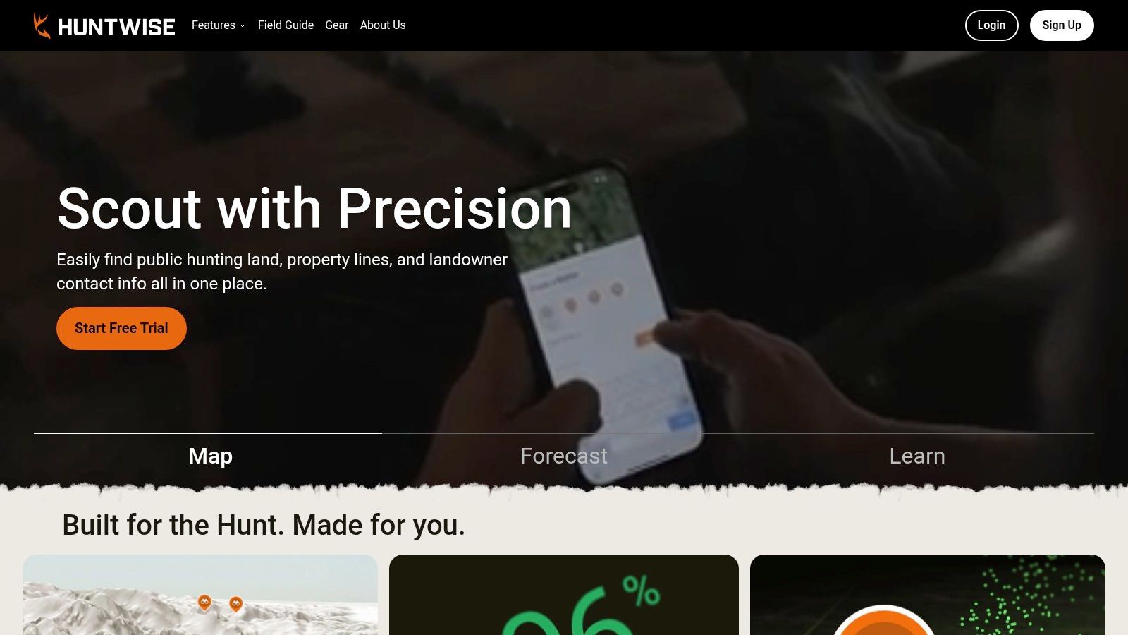
You already know the property and have several stand options. The question is which approach and stand fit the wind, not where to find another public parcel.
That's the stronger case for HuntWise. HuntCast provides animal-activity predictions, while WindCast compares conditions at hunting stands; paid plans add ownership information, offline maps, expanded forecasts, and additional mapping tools.
HuntWise lists Pro at $4.99 per month and Elite at $9.99 per month when billed annually. Those are annual-billing offers expressed as monthly amounts, not necessarily month-to-month subscription prices.
Best for comparing known stands
- Use the wind tools: Compare entry routes as well as the stand itself. A favorable stand wind doesn't rescue an approach that carries scent through bedding cover.
- Keep observations separate: Record actual sightings and sign rather than letting a forecast rewrite what happened.
- Check the plan: Advanced forecasts, ownership information, and additional layers sit behind paid access.
An activity prediction can help choose between otherwise sensible plans. It shouldn't persuade you to ignore access, unsafe conditions, or fresh evidence on the ground.
The free tier is useful for exploring basic mapping before subscribing. Hunters primarily concerned with remote public-land navigation may prefer an ownership-first tool instead.
Treat it as a US-focused candidate. Confirm any Canadian or Australian mapping you need before purchase, particularly owner information and offline layers, rather than assuming a visible basemap means hunting-specific coverage.
6. Spartan Forge
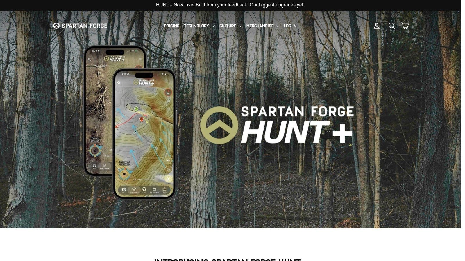
Terrain detail is the reason to investigate Spartan Forge. Its combination of aerial imagery, LiDAR in covered areas, slope shading, historical imagery, and deer-movement predictions suits hunters who spend substantial time e-scouting.
Spartan Forge advertises plans starting at $79.99 annually or $12.99 monthly, a 7-day trial, and 10-foot contours, with advanced imagery and LiDAR available in parts of the Lower 48. Coverage isn't uniform, so inspect your actual hunting area during the trial.
Best for studying terrain before walking it
Use terrain views to identify possible benches, saddles, steep approaches, and overlooked access routes. Then compare those features with ownership, public-land status, and a practical route back to the vehicle.
Offline maps, public- and private-land information, weather tools, journaling, and live group pin sharing extend the app beyond imagery. Live sharing and a saved offline map are different functions, though, so establish what your group can still see when connectivity disappears.
The trade-off is specialization. Hunters who only need a parcel line and a parking waypoint may not get enough value from detailed imagery and prediction tools.
Movement predictions remain estimates, not evidence that deer will use a particular trail. Its documented imagery emphasis is US-centered; Canadian and Australian hunters should establish local hunting-layer coverage before committing, rather than buying on the strength of Lower 48 examples.
7. GOHUNT
A western application decision starts well before you download a trailhead map. GOHUNT is best suited to hunters comparing units, draw odds, species, and historical harvest information, then carrying that planning into field maps.
GOHUNT includes public- and private-land maps for all 50 states with its annual Insider membership and advertises a 7-day trial. Check the current membership price on its official site before comparing total subscription costs.
Research first, navigation second
Filters for points, species, seasons, and other criteria help reduce an unwieldy shortlist. Unit profiles can then help you ask better questions about public-land distribution, likely access, and the kind of hunt a unit supports.
- Main advantage: Research and mapping belong to the same planning workflow.
- Field tools: Offline maps, GPS tracking, and satellite, hybrid, and topographic basemaps.
- Important limitation: Some advanced terrain and historical-imagery functions are desktop-only.
That desktop distinction matters. Inspect terrain at home, but make sure the information you need for the actual hunt is available in the mobile app and saved appropriately.
For a local deer hunter who isn't researching applications, the membership's research emphasis may be unnecessary. Its clear fit is US hunting, particularly western big game, rather than Canadian provincial or Australian state-forest planning.
Use draw information to build realistic options. Don't confuse a promising unit profile with a confirmed access route or permission to cross private land.
8. iHunter
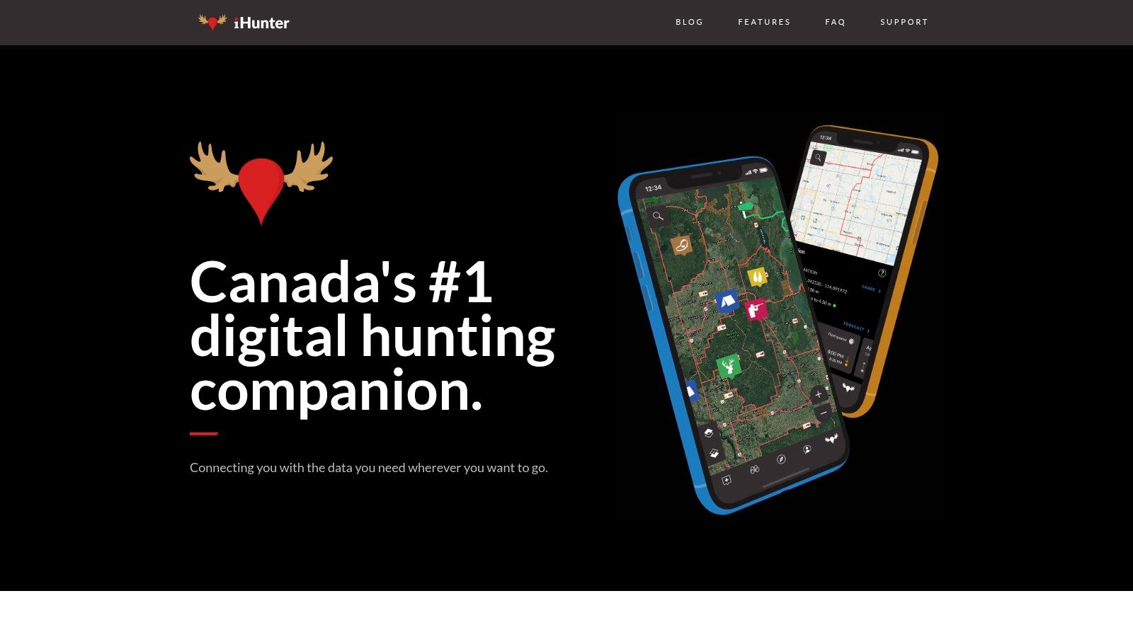
For Canadian hunting zones and provincial information, put iHunter on the shortlist early. Its province-specific approach is more relevant to a WMU question than a US-first app with a generic Canadian basemap.
iHunter is free to download and use, with optional subscriptions and province-specific map purchases. Available ownership products, public-land layers, and pricing vary by province, so evaluate the exact combination you need.
The app offers hunting-zone maps, season information, waypoints, tracks, drawings, offline map caching, and a web version. That makes it useful for moving between advance planning and field navigation without treating every province as an identical mapping product.
Best for province-specific decisions
Before buying an optional layer, inspect its geographic extent and what the land classifications mean. Crown land, private land, and a hunting-zone boundary answer different questions; none should be used as a shortcut around checking access conditions.
The strength is local relevance, not uniform coverage. A hunter crossing provincial borders should compare purchases and available layers separately rather than assuming the same ownership detail follows them.
US cross-border usefulness also needs a specific coverage check. It isn't a like-for-like nationwide US parcel product, and it isn't the obvious primary choice for Australian public hunting areas.
For Canadian season decisions, use summaries to locate the applicable provincial rule, then confirm it with the responsible authority. Keep a saved copy of the relevant official information alongside your offline map.
9. HuntFishNY
HuntFishNY belongs in a different category from commercial scouting apps. It's the New York State Department of Environmental Conservation's tool for state-specific documents, hunting information, and harvest-reporting tasks.
The official HuntFishNY app is free and provides access to sporting licenses, privileges, permits, harvest reports, regulation links, season summaries, and sunrise and sunset information. A state DECALS account is required for license documents.
Best for New York paperwork
Use it alongside your navigation app, not instead of one. Seeing a license document doesn't establish who owns the parcel ahead, and a commercial ownership layer doesn't complete a required harvest report.
- Before departure: Sign in and verify that the correct documents appear.
- Without service: Test the license and harvest functions you intend to use after signing in.
- For reporting: Distinguish a saved entry from a successfully submitted report.
Reported login difficulties make that advance test worthwhile. Account recovery is an avoidable distraction at a trailhead.
A smartphone hunting-monitoring study found that participating hunters preferred app reporting because it was easy to use and quicker to enter information. The practical lesson is to learn the reporting workflow before you need it.
This is a New York-specific companion, not a Canadian, Australian, or nationwide ownership platform. Its official status is valuable within that role, but it doesn't turn it into a complete field-navigation system.
10. My CPW
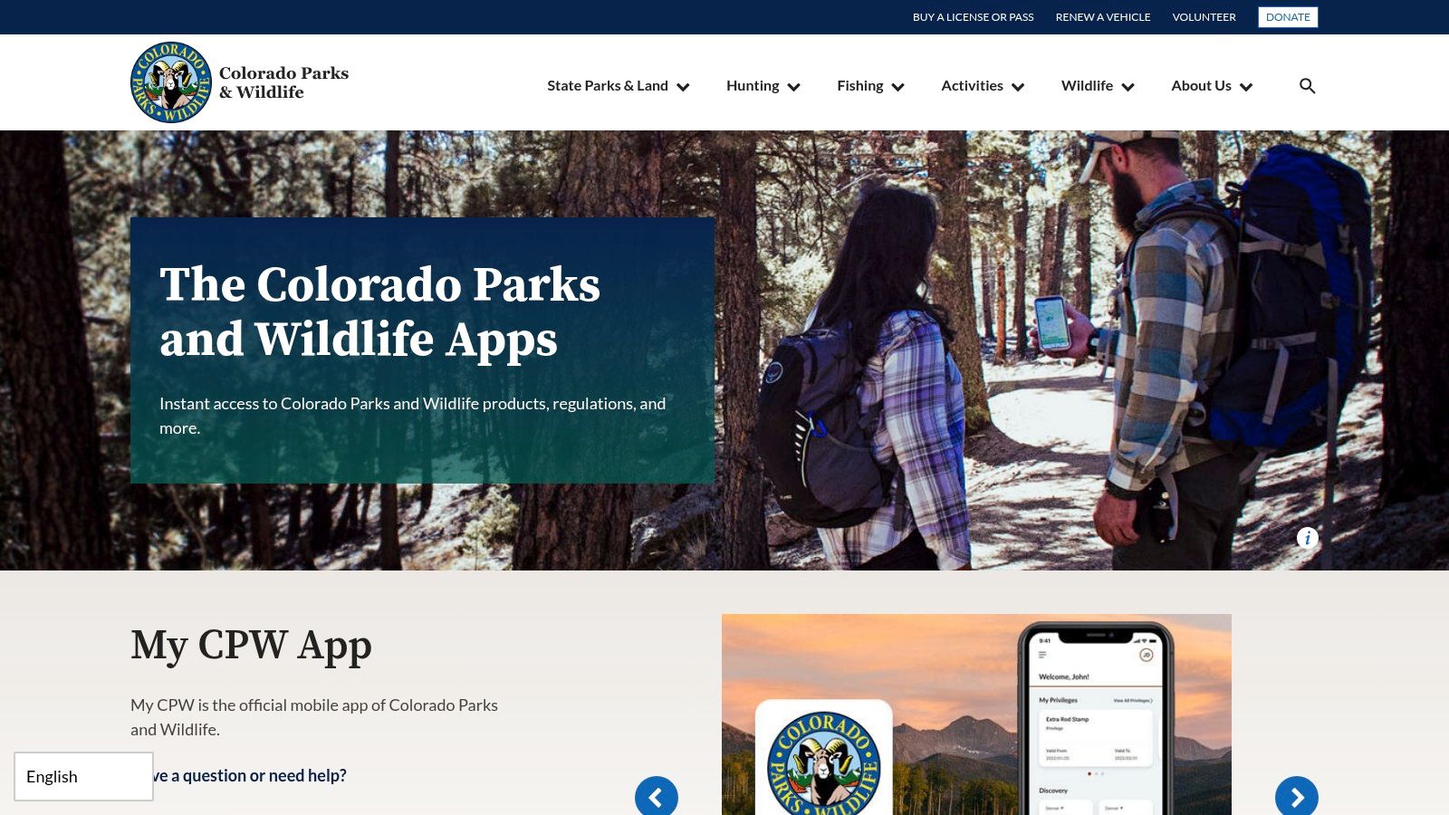
Colorado hunters have several distinct jobs to handle: licensing, preference points, regulations, hunting-area research, and navigation. My CPW handles the agency side, while separate mapping resources can complement it.
Colorado Parks and Wildlife's app resources include My CPW for license purchases, preference-point information, regulations, and related hunting resources. The app is free, although licenses and passes may involve fees.
Best for Colorado agency tasks
The Hunting Atlas and separate CPW mobile PDF maps deserve attention alongside the main app. Prepared mobile PDF maps can display your location without cell service, but they aren't the same product as a full commercial ownership platform.
Save the correct map, open it in the intended viewer, and confirm that location display works before departure. Keep licensing documents accessible separately so troubleshooting a map doesn't also block your paperwork.
Access caution: A road drawn through public land isn't proof that you can legally drive or walk its entire length.
The BLM's Colorado hunter guidance warns that mapped roads may end at private property or have legally restricted access. That's why agency information and commercial mapping work better as complementary tools than substitutes.
My CPW is Colorado-specific, with no role as a Canadian or Australian hunting map. Its limitation is also its purpose: it helps with official state tasks, while hunters may still need another tool for parcel detail, shared scouting records, and broader offline navigation.
How the Leading Hunting Apps Compare on Price, Coverage, Land Data and Offline Maps
Four questions decide which app earns space on your phone: what it costs, where it works, whether it shows who owns the ground, and whether the map still loads with zero bars. The table lines all ten candidates up on those points so the weak spots show quickly.
| Item | Listed price | Coverage by country | Private land data | Offline maps |
|---|---|---|---|---|
| HuntScout | Free tier; Pro with a 7-day free trial; current pricing shown in the app | US, Canada, Australia, New Zealand, UK, Germany, Austria | Private parcels and ownership in US and Canada | Yes; downloadable maps and GPS navigation |
| onX Hunt | US$34.99/year for one state; US$49.99 for two states; US$99.99 Elite | US; Elite includes Canada | Parcel boundaries and landowner information | Yes |
| HuntStand | Free tier; Pro US$34.99/year; Ultimate US$99.99/year | US and most of Canada | Property boundaries and ownership information | Yes, on paid plans |
| BaseMap | US$39.99–$99.99/year | US nationwide | Nationwide land-ownership maps | Yes; offline 3D maps |
| HuntWise | Free tier; Pro US$4.99/month; Elite US$9.99/month, billed annually | US-focused; confirm Canadian or Australian layers before purchase | Owner information in paid plans | Yes, on paid plans |
| Spartan Forge | From US$79.99/year or US$12.99/month | US; advanced imagery covers parts of the Lower 48 | Public- and private-land ownership maps | Yes |
| GOHUNT | Annual Insider membership; check the current price on the official site | US nationwide | Public- and private-land maps | Yes |
| iHunter | Free basic access; optional products and subscriptions vary | Canada; province-specific coverage | Optional ownership or public-land products vary by province | Yes; map caching |
| HuntFishNY | Free | New York, US | No parcel-ownership layer | Some functions work offline after sign-in |
| My CPW | Free; licenses or passes may have fees | Colorado, US | No parcel-ownership layer | Separate CPW PDF maps work offline |
Free means different things across this list. HuntScout's free tier still includes public land maps, season dates and zone lookups, while HuntStand and HuntWise keep map downloads behind paid plans. HuntFishNY and My CPW cost nothing because they are single-state agency tools for licenses and regulations, not ownership platforms, so they sit alongside a mapping app rather than replacing one.
Read the offline column first if you hunt beyond signal. Several apps gate downloads behind paid tiers, and the trade is simple: pay up front, or carry paper as backup.
Geography trims the list fast. iHunter, HuntStand, onX Elite and HuntScout all work in Canada, and for Australia HuntScout covers state forests and public hunting areas that the US-focused apps lack. HuntWise and Spartan Forge center on the US, so check your exact unit before paying.
Matching the App to Your Land, Your Season and Your Signal
No single app wins every hunt. Start with the question your hunt depends on, shortlist tools that cover your region, and test them against the same real location. A familiar property is useful because you can spot missing gates, misleading approaches, or layers that don't answer your access question.
For ownership-first US hunting, compare onX Hunt with our combined parcel, unit, and season workflow. For managed properties, HuntStand deserves attention; for western application research, compare BaseMap and GOHUNT. HuntWise and Spartan Forge make more sense when wind, imagery, terrain, or predictions are central to your planning.
Coverage across the US, Canada, and Australia
- United States: The commercial choices offer different mixes of ownership, research, forecasts, and offline mapping. HuntFishNY and My CPW serve their respective states rather than replacing those platforms.
- Canada: Our North American coverage and iHunter are natural starting points. onX includes Canada in Elite, while HuntStand covers much of Canada; inspect the exact provincial layers in each.
- Australia: Our app includes state forests, public hunting areas, and season resources. Don't assume the other products provide equivalent Australian access information because their basemaps display the country.
Public ownership and legal entry are separate questions. The BLM's California guidance says hunters must obtain permission before crossing private land to reach public land. Apply that distinction to every route: identify ownership, establish lawful access, and confirm any site-specific restrictions with the responsible agency.
Test offline performance by downloading your hunt area, enabling airplane mode, and reopening the app. Check your position, parcel lines, unit boundaries, saved waypoints, and alternate exit. Keep backup navigation and the relevant official regulations available independently.
Vehicle planning belongs in the same preparation. If you're comparing quiet electric UTVs for hunters, first establish where motorized travel is permitted and where you'll leave the vehicle.
Before hunting, confirm current seasons, permits, weapon rules, and reporting obligations with the official state, provincial, or Australian authority linked from your season information. The best app is the one that answers your actual question while making its limits clear, not the one that encourages you to mistake a colored map for permission.
HuntScout combines ownership maps, public and Crown land, hunting-zone information, linked season summaries, and offline navigation for planning around land access. Visit HuntScout to explore your hunting area, save useful waypoints, and try Pro's downloadable maps before your next trip beyond cell service.