You're zoomed in on a dark timber edge, following a clean property line toward a promising saddle. A free land ownership map can help identify that parcel, but it can't tell you, by itself, that you're allowed to hunt it. Start with a county viewer for ownership records, a hunting map for public-land and unit overlays, and downloaded maps for navigation away from service.
A parcel line on screen is not permission to hunt. The owner record might lag a sale, the approach road might cross private land, or the public parcel might have restrictions that aren't visible at your current zoom level. BatchData on parcel map accuracy provides useful background on why mapped parcel boundaries need verification rather than blind trust.
Treat the line as a place to start asking questions, not a place to stop checking access.
The options below include free research tools, limited free accounts, and paid apps you can test through a trial. They aren't interchangeable: some help find an owner, some show public hunting ground, and others make those layers usable offline.
For US hunters, the important distinction is between ownership, managing agency, hunting unit, and legal access. Canadian hunters also need provincial Crown land classifications and WMU boundaries, not just an app that displays Canadian satellite imagery.
Table of Contents
- 1. HuntScout
- 2. Regrid
- 3. PublicGIS
- 4. CLILU
- 5. Free Property Lines Map by State from Off Grid Hubs
- 6. County GIS or Assessor Parcel Viewer
- 7. WikiHunt
- 8. Acres
- 9. LandGlide
- 10. Land id
- How the free land ownership map options compare on price, coverage, parcel data and offline use
- Pick the Map by What You Need to Verify
1. HuntScout
Best for combining public-land scouting with hunting-unit research. The free plan covers public-land overlays for BLM, USFS and state ground, 2026 season calendars and opening dates, GMU and WMU boundary search, high-res satellite and 3D topo maps, and GPS waypoints across iPhone, Android and the web. That is enough to pin down where a unit boundary falls before you pay for anything.
Private ownership is where the free plan stops. Pro adds parcel boundaries for more than 100 million parcels across the US and Canada, and tapping one shows landowner names, acreage, tax parcel IDs and county records, alongside advanced layers and unlimited offline downloads. Canada Pro runs C$29.99 CAD per year for all 10 provinces, with Crown land parcel mapping, WMU boundaries and private titled parcels.
What matters before leaving service
Download the actual hunting area, approach roads, and surrounding parcels, not just the spot where you expect to sit. Saved satellite, topographic and hybrid maps keep private parcel lines and hunting zones on screen, and the phone's GPS chip fixes position in airplane mode with no cell signal. Downloads also carry real-time GPS tracks, altitude readings and heading indicators.
- US: BLM, USFS, state land, WMAs and hunting units, with private parcels on Pro.
- Canada: Crown land classifications, WMUs and private titled parcels.
- Australia and New Zealand: state forests, public hunting areas, game reserves and DOC hunting blocks, plus closures and exclusions.
Waypoints, routes, party sharing, weather, a harvest logbook and an AI regulations assistant round out planning, and the regulation summaries link to official wildlife agencies.
The split matters: free research covers public ground and units, while owner lookup and offline maps sit behind Pro. A parcel line gives you a name to contact, and the landowner still decides access. Our HuntStand versus onX comparison weighs those priorities against other hunting apps.
2. Regrid
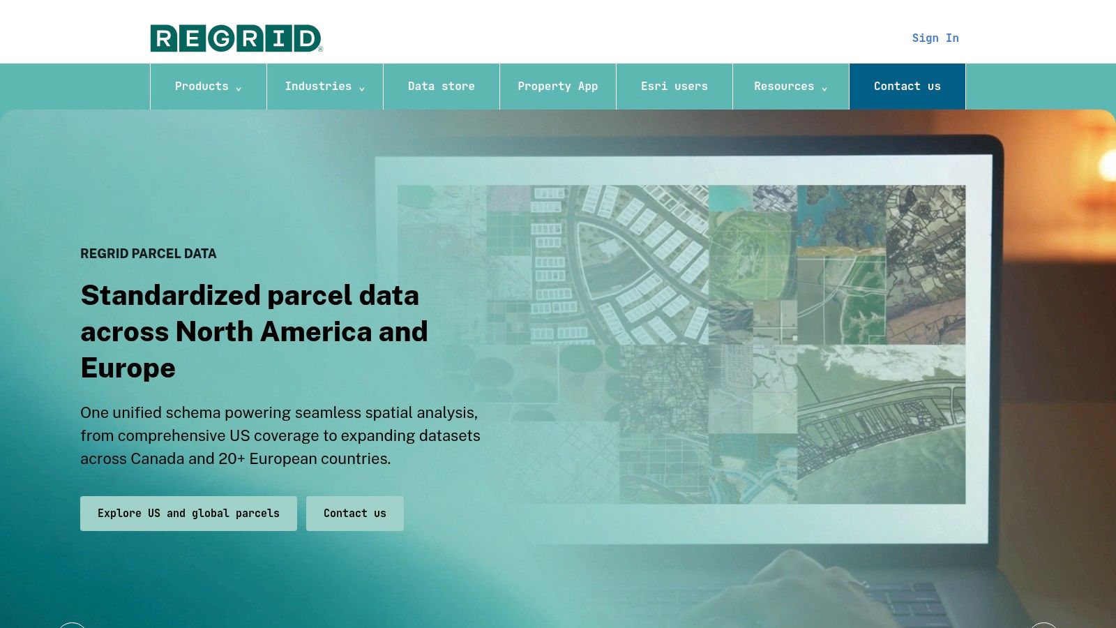
A posted farm gate with no phone number is a common dead end. Regrid is a practical free land ownership map for finding the parcel behind it when you have an address, coordinates, or a parcel number.
Its web and mobile maps pair parcel outlines with the property records a county publishes. Owner names, acreage, mailing addresses, and parcel IDs can turn a promising aerial into a county-record search.
The free Starter account fits occasional lookups, not a full afternoon of clicking through a township. Daily property-detail views are limited, so save parcel IDs and short notes as you go instead of reopening the same records.
Use it for ownership leads
- Strong point: Search and sharing are simpler than learning a different county GIS interface for every hunt.
- Weak point: A property record does not confirm hunting permission, access-program enrollment, or whether the road in is public.
- Field limitation: Treat offline parcel navigation on a free account as unreliable until you have tested it in service.
Before a permission request, match the owner name and parcel ID to the county assessor or recorder record. A mailing address can belong to an LLC, a trust, or an owner who lives hours away.
Regrid is mainly a US parcel-research choice. For Crown land in Canada or public-hunting ground in Australia, keep a government or hunting-specific map beside it, because the question shifts from who owns the ground to whether you may legally be there.
3. PublicGIS
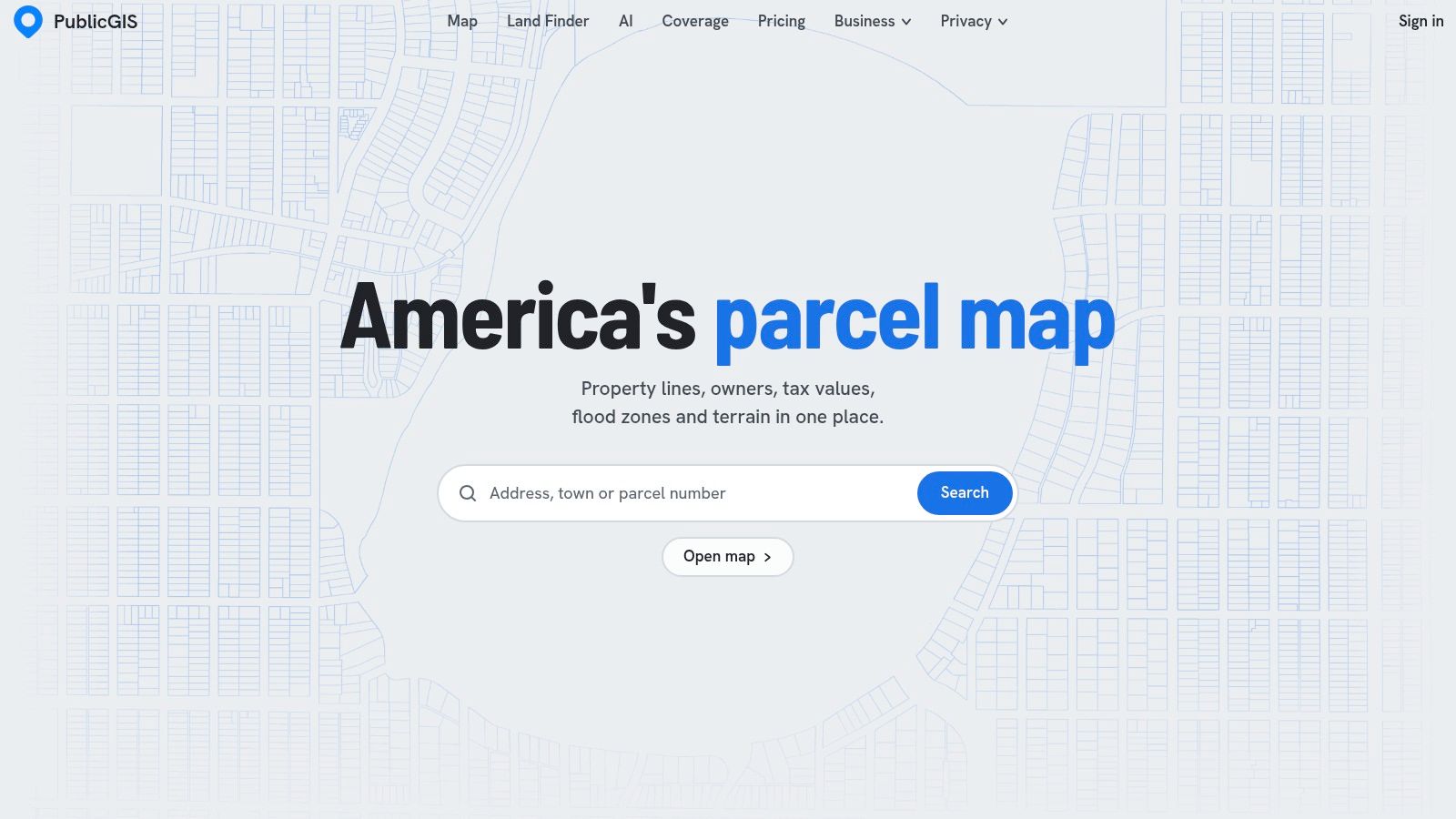
PublicGIS works best when the parcel question includes terrain, wetlands, soils, or floodplain context. That combination can help with desk scouting, particularly when you're comparing a creek-bottom parcel with neighboring agricultural ground.
You can explore its browser map without an account, while accounts and paid plans change the available limits and capacity. Available records and owner details still depend on what local jurisdictions publish.
That distinction matters. A visible polygon can mean the boundary geometry is available without meaning the owner record is complete or recently verified.
Practical rule: Open the source record before treating an owner name or access-looking strip as settled information.
PublicGIS identifies data sources and provides links to official records, making it useful for following a parcel back to its origin. Its land-analysis layers help frame questions, but they don't establish that a wetland is huntable or that a narrow connection between parcels provides legal passage.
- Use it for: Comparing land characteristics and locating supporting property records.
- Don't use it for: Proving a surveyed boundary or replacing a hunting navigation app.
- Before the trip: Save parcel IDs and agency references outside the browser, and arrange a separate offline map.
This is a US research tool, not the first choice for Canadian Crown land classifications. Browser access on a phone is convenient at the kitchen table or truck, but it isn't equivalent to downloaded field coverage.
4. CLILU
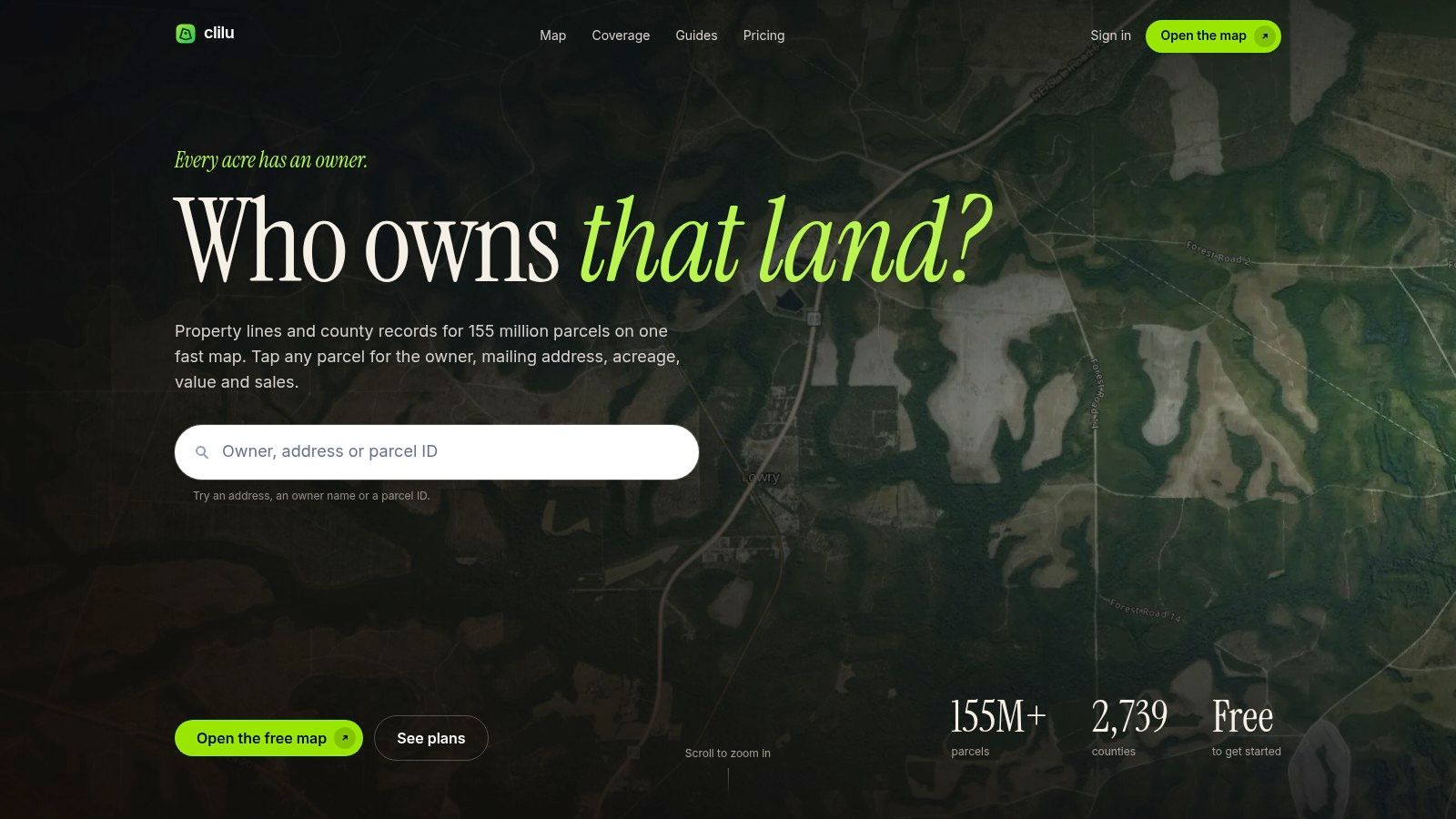
Try the free map before paying for field features. CLILU provides US parcel lines, layers, and measuring tools, with limited initial owner lookups available free.
Its parcel records come from county and state public records. That's useful provenance, but it doesn't establish a uniform update schedule across every jurisdiction.
For scouting, measuring tools can help estimate the distance between a parking area and a timber opening. They're less useful when the unresolved question is whether you may legally walk that route.
Where the free version stops
Broader owner and value details, saved parcels, offline maps, and GPS are paid features. If your requirement is specifically free ownership mapping without reception, opening CLILU's free map at home doesn't demonstrate that it will meet that requirement.
- Worth trying: Basic parcel orientation and preliminary distance checks.
- Budget consideration: Owner research and field navigation can require an upgrade.
- Accuracy consideration: Public-record boundaries retain the limitations of their source datasets.
Before subscribing, test a parcel you can also identify in the county viewer. Compare the parcel number, owner record, boundary shape, and any displayed source or update information.
A sharp satellite image can make an approximate line look convincing. If the line runs beside a fence, ditch, or timber edge, don't assume that visible feature is the legal boundary.
CLILU belongs on a US parcel shortlist. Canadian hunters should use provincial land-status resources rather than expecting a US parcel service to resolve Crown land access.
5. Free Property Lines Map by State from Off Grid Hubs
No account is the main attraction here. Off Grid Hubs' property-lines map displays public state-government parcel data for supported states without requiring an app installation.
That makes it useful for a quick ownership-research session when the relevant state has a published parcel layer. Parcel size and parcel IDs can help identify the tract; owner details appear only where the underlying public dataset includes them.
The limitation is geographic. Selected-state coverage isn't nationwide coverage, and an empty area shouldn't be interpreted as public land or an unowned parcel.
Follow the state source
Check which state layer is displayed and whether it provides a publication or update date. If an ownership field is blank, move to the county assessor rather than assuming the information doesn't exist.
- Good fit: A straightforward parcel check in a supported state.
- Poor fit: A multi-state offline hunting map.
- Missing answer: Whether the owner allows hunting or whether a nearby road grants access.
For the next step after finding a likely tract, use our guide to finding private hunting land maps. The useful output is an identifiable parcel and a verification path, not a screenshot of a boundary.
Off Grid Hubs is a research convenience, not a Canadian Crown land service or a replacement for an agency hunting map. Keep its approximate property lines separate from any decision about where to park, cross a fence, or enter private ground.
6. County GIS or Assessor Parcel Viewer
For a specific US parcel, I'd check the county record before trusting a national owner label. County GIS and assessor viewers give you a direct route to local parcel identifiers, assessment records, and sometimes recorder documents.
Start with the USGS authoritative-source parcel viewer resource, then locate the responsible county's official viewer. Interfaces vary, and some are awkward on a phone, but local records can resolve missing or conflicting national-map details.
A parcel ID is especially valuable when adjoining properties have similar addresses. How appraisal districts identify your land explains the identifier's role in connecting a mapped tract with its property record.
Check records, not just labels
- Match the parcel: Compare the identifier, acreage, and mapped location.
- Check the owner: Follow assessor or recorder references when the displayed name appears outdated.
- Separate access: Use the land manager or wildlife agency to verify hunting arrangements.
The National Academies' parcel assessment identifies outdated basemaps, georeferencing errors, and inconsistent standards as recurring problems. Government origin doesn't turn a GIS boundary into a survey.
For nearby hunting opportunities, pair the parcel research with our guide to public-land hunting near you. A county record helps identify ownership; it usually won't supply the complete season, permit, entry-point, and closure information needed for a hunt.
7. WikiHunt
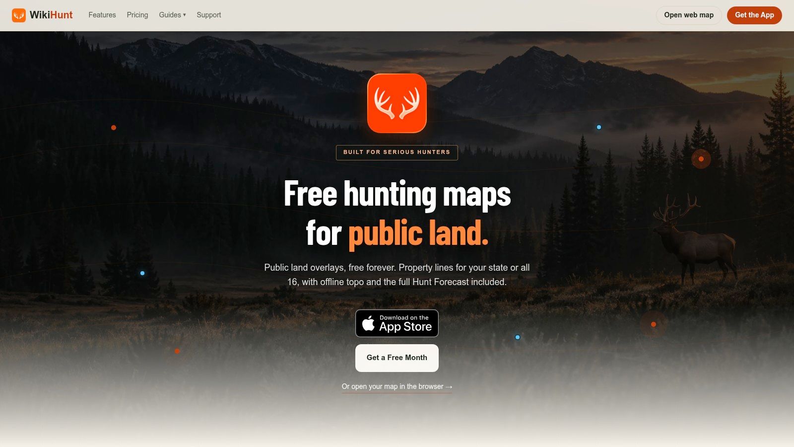
WikiHunt is more hunting-oriented than a general property-record viewer. Its free offering includes public-land overlays, selected hunting-unit maps, weather, waypoints, tracking, and web mapping.
That's a useful mix for sketching a hunt around public ground. GPX and KML import and export also matter if you already keep scouting locations in another mapping program.
However, advertised parcel boundaries shouldn't be read as a promise that every owner field, state, and field-navigation feature is included free. Check the intended hunting area and account level before building a trip around it.
Public-land shading answers an ownership question. It doesn't establish the legal route from your truck to that ground.
The BLM's hunting and fishing guidance says hunters need permission before crossing private land to reach public land, and state wildlife rules still apply on federal ground. Those are separate checks even when the hunting map looks straightforward.
- Best use: Public-land scouting with hunting-specific planning tools.
- Verify first: Free parcel detail, unit availability, and offline functionality for your area.
- Country fit: Treat its US hunting coverage separately from any need for Canadian Crown land or Australian public-hunting maps.
WikiHunt's iPhone app and web access can support planning, but a track-recording feature alone doesn't mean the underlying ownership map is stored offline. Test the complete workflow without service before relying on it.
8. Acres

Say you're comparing neighboring farms for a possible permission request. Acres can help organize land research, with parcel boundaries, property insights, map sharing, and points of interest such as hunt stands.
Its land-focused approach is useful when a residential real-estate search would leave out the information you need. Mobile and web access also make it easier to move between desk research and scouting notes.
The catch is the meaning of free. An app being available to download doesn't establish that owner details, extensive parcel research, and offline functionality are available without payment.
Test the parcel you need
Open a known property and check what the free account reveals. Look for the owner field, parcel identifier, source information, and any restrictions on saving or sharing the result.
- Useful distinction: A saved hunt-stand point records your scouting location, not permission to use it.
- Research strength: Sharing a mapped parcel can help a hunting partner review the same ground.
- Field concern: Don't assume shared maps remain available when reception disappears.
Acres is better treated as a land-research candidate than as a guaranteed free hunting-navigation package. Its property layers don't replace state hunting units, current access-program information, or agency closures.
For Canada, establish whether the specific provincial land information you need exists before committing your scouting notes. Satellite coverage alone won't distinguish general-use Crown land from restricted parcels or resolve hunting permission.
9. LandGlide
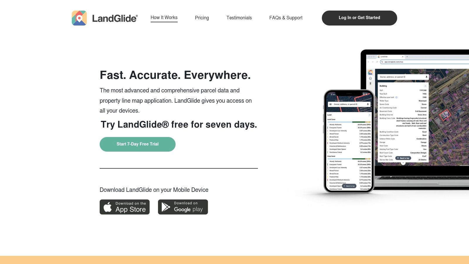
LandGlide belongs in the trial category, not the permanently free category. Its parcel searches, GPS positioning, saved locations, and offline downloads make it relevant to hunters, but continued use requires a subscription.
Searching by owner name, address, or parcel number can help when you're working backward from a posted property or a potential permission contact. The mobile orientation is convenient when you need to compare your position with a mapped parcel.
The LandGlide website offers a seven-day free trial, so use that period to evaluate actual parcels rather than just browse the interface.
Make the trial answer a field question
Download the intended area, switch off cellular connectivity, and confirm that the parcel layer and saved information remain usable. Check the approach route too, since an offline map centered only on the hunting spot can leave you without surrounding ownership context.
- Strong fit: Testing a parcel-first mobile workflow.
- Weak fit: Finding an indefinitely free owner map.
- Separate requirement: Hunting-unit boundaries, access programs, and regulations still need appropriate agency information.
A GPS dot beside a parcel line isn't survey evidence. If the apparent boundary conflicts with signs or the route would cross uncertain private ground, stop and verify rather than trying to follow the screen more precisely.
LandGlide is primarily a US parcel option. Don't assume it supplies Canadian Crown land classifications or Australian hunting-area rules.
10. Land id
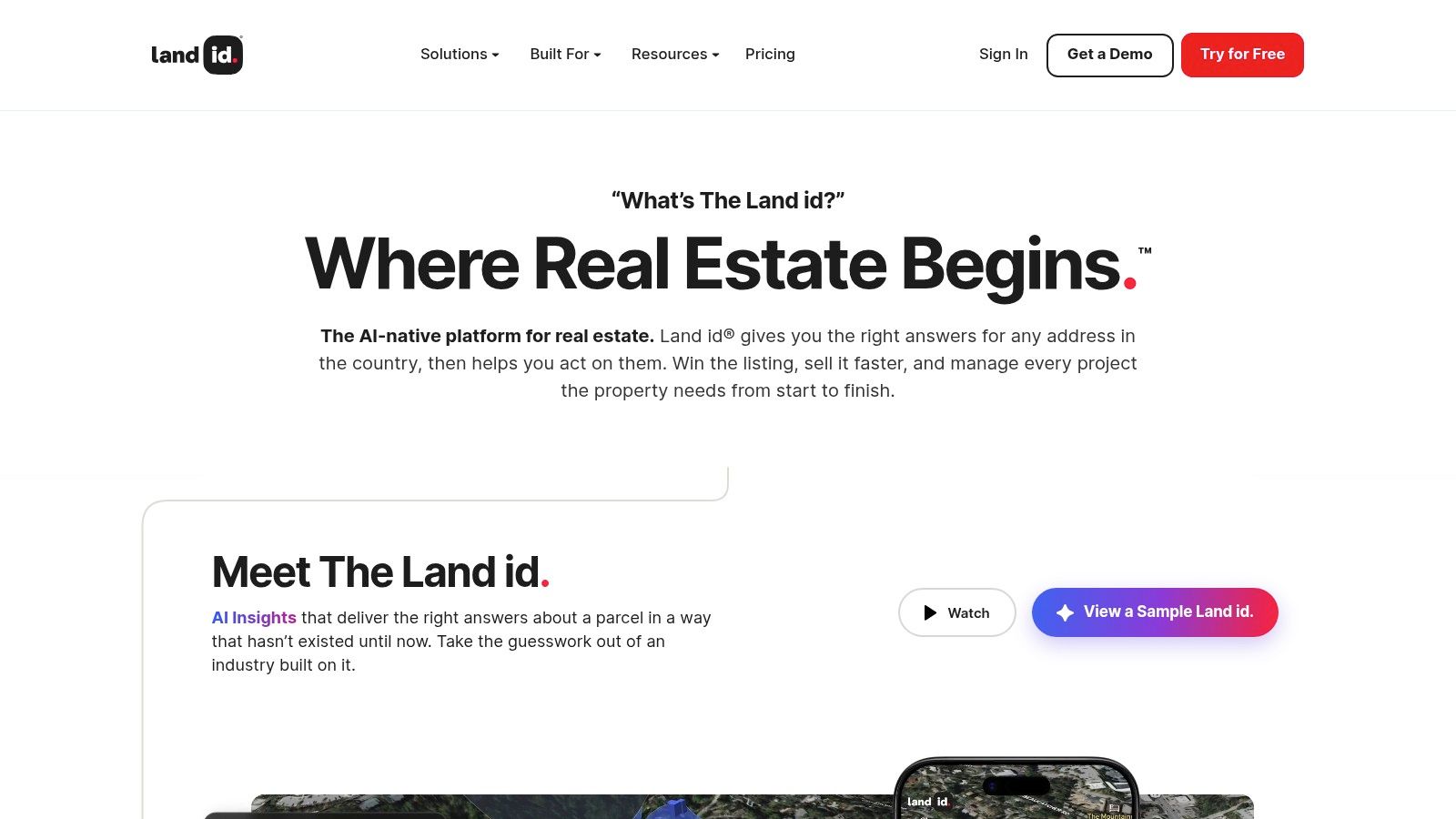
Terrain and property research are the reasons to consider Land id. It combines parcel boundaries and ownership information with satellite, topographic, and hybrid views, plus overlays for land characteristics such as soils and flood-related conditions.
For a hunter comparing access routes or evaluating a potential lease, those layers can be useful. For a single owner lookup, they may be more than you need.
Land id is free to download, but its trial-based plans shouldn't be confused with unlimited free ownership access. Establish which plan includes the layers and mobile functions you need before entering a subscription.
More context, not more permission
Terrain can help you judge whether an approach is practical. It can't establish that an apparent road is public, that an easement permits hunting access, or that the parcel is enrolled in an access program.
- Research advantage: Property information and land-analysis layers in the same workspace.
- Cost limitation: Continued access and advanced features can require a paid plan.
- Verification gap: Owner information still needs an appropriate local-record check.
The Land Portal's ownership-data review identifies patchy availability, incompatible metadata, technical errors, and discoverability problems. A polished map doesn't eliminate those underlying limitations.
For cross-border hunts, judge coverage by the actual land-status layers available in the relevant jurisdiction. US parcel geometry, Canadian Crown land classification, and Australian state-forest hunting access answer different questions and shouldn't be treated as interchangeable coverage.
How the free land ownership map options compare on price, coverage, parcel data and offline use
Ten tools, four questions that matter: what you pay, where the map works, whether owner names appear, and whether anything loads once you lose signal.
| Item | Price or free access | Coverage by country | Private land and ownership data | Offline maps |
|---|---|---|---|---|
| HuntScout (recommended) | Free plan; free Pro trial; Canada Pro from C$29.99 per year, upgrade at any time | US, Canada, Australia, New Zealand; resources for the UK, Germany, and Austria | 100M+ private parcels with landowner names across the US and Canada; Pro required | Yes; device-saved topo and satellite maps work in airplane mode, unlimited downloads on Pro |
| Regrid | Free Starter account; 25 property-detail views per day | US | Parcel boundaries and basic property details, which may include owner information | None listed |
| PublicGIS | Free to explore; account or paid plan adds capacity | US | Parcel records and owner details where available in local records | None listed |
| CLILU | Free map and limited owner details; paid Pro plan | US | Parcel lines and limited free owner details; broader owner lookups require Pro | Yes, with a paid plan |
| Free Property Lines Map by State, Off Grid Hubs | Free; no account required | Selected US states | Parcel size and ID; owner details where published | None listed |
| County GIS or Assessor Parcel Viewer | Often free; varies by county | US, county by county | Local parcel records may include owner names, acreage, and parcel numbers | Typically browser-only |
| WikiHunt | Free tier; some features may require payment | US; free GMU maps available | Parcel boundaries advertised; free ownership details vary by state | None listed |
| Acres | Free access not confirmed; in-app purchases available | Not confirmed in our review | Parcel boundaries and land data; free ownership access not confirmed | None listed |
| LandGlide | 7-day free trial; subscription required for continued use | US | Parcel records and details; coverage varies by location | Yes; offline downloads listed |
| Land id | Free app download; 7-day trial, then paid plans | Not confirmed in our review | Parcel boundaries and ownership information; some features may require a subscription | None listed |
Read the offline column closely. A map that needs a live connection is a desk-research tool, not a field tool. Of the ten options here, only HuntScout, CLILU, and LandGlide confirm downloadable offline maps, and two of the three put that behind a paid plan.
Pick the Map by What You Need to Verify
Start with the question you need answered. For ownership and parcel records, a county GIS or assessor viewer is the most direct starting point, while Regrid, PublicGIS, and other national parcel maps can help identify the tract and responsible jurisdiction.
For public-land scouting, prioritize clearly labeled managing agencies and hunting-unit boundaries. BLM, USFS, state land, and wildlife management areas aren't interchangeable categories, and a public owner label doesn't establish that every activity is allowed.
For navigation, the deciding feature is whether the information survives loss of service. The BLM's New Mexico mobile-mapping program illustrates the value of combining hunting-unit information with downloadable public-land maps, rather than relying on a live browser.
Compare subscriptions without confusing them with free maps
onX Hunt, HuntStand, iHunter, BaseMap, HuntWise, and GoHunt are also reasonable comparison candidates. Don't assume their current prices, private-land coverage, country support, or offline entitlements match one another, and don't treat a promotional trial as permanent free access.
Use the same practical test for each:
- Price: Distinguish an ongoing free account from a trial and a paid subscription.
- Country coverage: Verify the specific US state, Canadian province, or Australian state you'll hunt.
- Private-land data: Check whether owner details are included, where they originate, and when they were updated.
- Offline maps: Confirm that ownership and hunting-unit layers download, not just the base imagery.
Canadian hunters should prioritize provincial Crown land classifications and WMU information. Australian hunters need the relevant state's public-hunting areas and official rules, not a US-style owner map with global satellite imagery.
Verify the last mile before the hunt. Washington's wildlife agency warns that hunters can't cross private or closed land without permission to reach public parcels in its regional hunting guidance. A promising public parcel can still have an unusable approach.
Check the managing agency's current land status, confirm season rules with the official wildlife agency, and get landowner permission wherever it's required. If signs, gates, records, and your screen disagree, resolve the conflict before entering.
A free land ownership map is valuable when it helps you find the next authoritative answer. A boundary shown on any map is never permission to hunt.
Use HuntScout to connect public-land research, hunting-unit lookups, and saved scouting locations, with Pro options for private ownership details and offline maps. Visit HuntScout to check your intended hunting area, identify the relevant land and unit layers, and plan what you'll verify before heading out.