You're standing at a fence line with no cell service, looking at timber that might be public, private, or part of an access program. A land ownership map app helps you identify parcels, owners, public land, and hunting units. The right pick comes down to four things: parcel accuracy, public-land layers, offline access, and hunting-specific tools. Satellite imagery that looks sharp on your couch tells you nothing about those.
Most comparisons stop at US parcel apps. This one also weighs what cross-border hunters need, because coverage in Canada and Australia separates a general mapping tool from a real hunting system.
For US and Canadian ownership maps in a single app, HuntScout is a lower-cost starting point. onX Hunt suits dedicated hunting navigation, HuntStand adds property-management tools, and GOHUNT makes particular sense when western draw research matters alongside mapping. BaseMap, HuntWise, Spartan Forge, Gaia GPS, i-Hunting, and LandGlide each solve a different problem.
Finding a mailing address, planning an elk application, and navigating back to a truck are not interchangeable jobs.
A colored parcel is never permission to enter. You still need a lawful access route, landowner permission where required, and the current rules from the responsible wildlife or land-management agency. Mountain hunters also need separate hazard planning. If your trip involves that region, check Tahoe avalanche forecasts rather than treating a hunting map as a complete safety system.
Table of Contents
- 1. HuntScout
- 2. onX Hunt
- 3. HuntStand
- 4. BaseMap
- 5. HuntWise
- 6. GOHUNT Maps
- 7. Spartan Forge
- 8. Gaia GPS
- 9. i-Hunting GPS Maps App
- 10. LandGlide
- Land Ownership Map Apps Compared
- How to Choose and Use a Land Ownership Map App
1. HuntScout
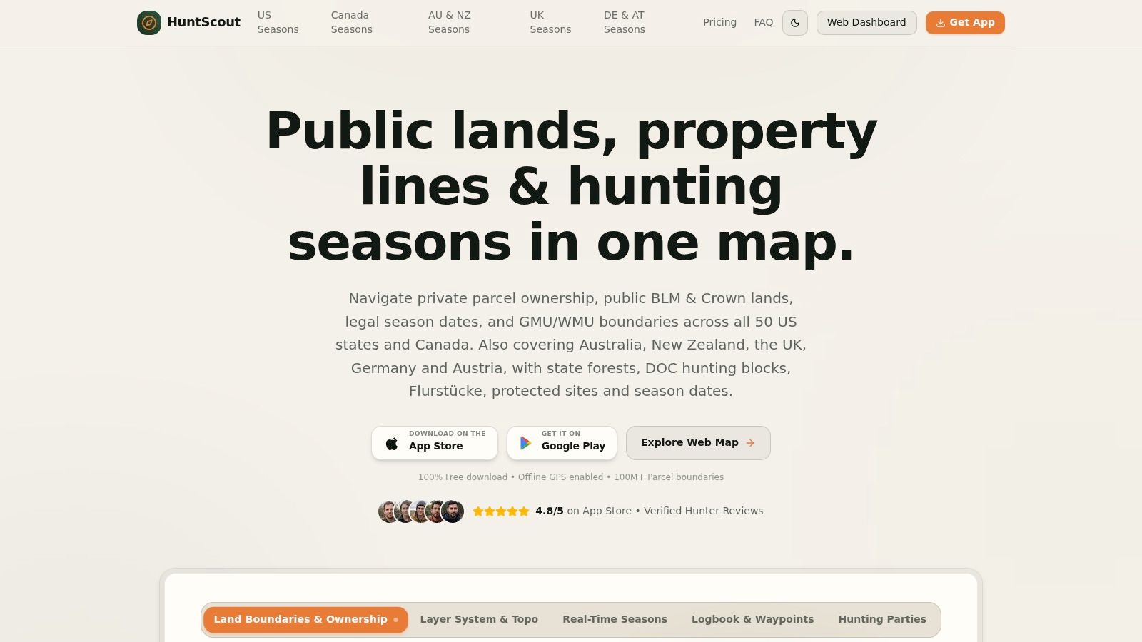
Best for hunters who want ownership, hunting zones, and field planning together across North America. Our iPhone, Android, and web tools combine private parcels with BLM, USFS, state lands, WMAs, Canadian Crown land, and GMU or WMU boundaries, so US and Canadian hunting areas sit in one app.
The ownership layer covers more than 100 million private parcels across the US and Canada. Tapping a parcel brings up boundaries, landowner names, acreage, tax parcel IDs, and county-record information. That matters when you've found promising habitat and need to identify the person who can authorize access.
What works in the field
Saved satellite, topographic, and hybrid maps retain parcel lines and hunting zones offline, and the phone's GPS chip keeps locating you in airplane mode, which is what counts in deep backcountry. Waypoints, routes, real-time tracks, altitude readings, and heading indicators carry you back to the truck. Give uncertain boundaries a buffer, because GPS positioning doesn't turn a parcel overlay into a survey.
- Planning tools: Weather, wind, a sightings and harvest logbook, and shared hunting-party maps with live waypoint sync keep trip information in one place.
- Free access: The free plan covers public-land overlays, 2026 season calendars and opening dates, GMU and WMU boundary search, high-resolution satellite and 3D topo maps, and basic waypoints across iOS, Android, and web. Enough to judge the workflow before paying.
- Pro access: Paid plans add private parcels, advanced layers, and unlimited offline downloads. North America Pro includes a 7-day free trial, so you can confirm the ownership coverage in your actual hunting area before committing.
Coverage outside North America is shallower and worth checking against your needs. Australia and New Zealand focus on huntable public land, including state forests, hunting areas, game reserves, and DOC hunting blocks, with closures and exclusions marked. The UK map shows registered boundaries, protected sites, and open access land, while Germany and Austria show parcels without owner data alongside protected areas. Our AI regulations assistant is useful for researching requirements, but the responsible wildlife agency remains the authority on rules.
2. onX Hunt
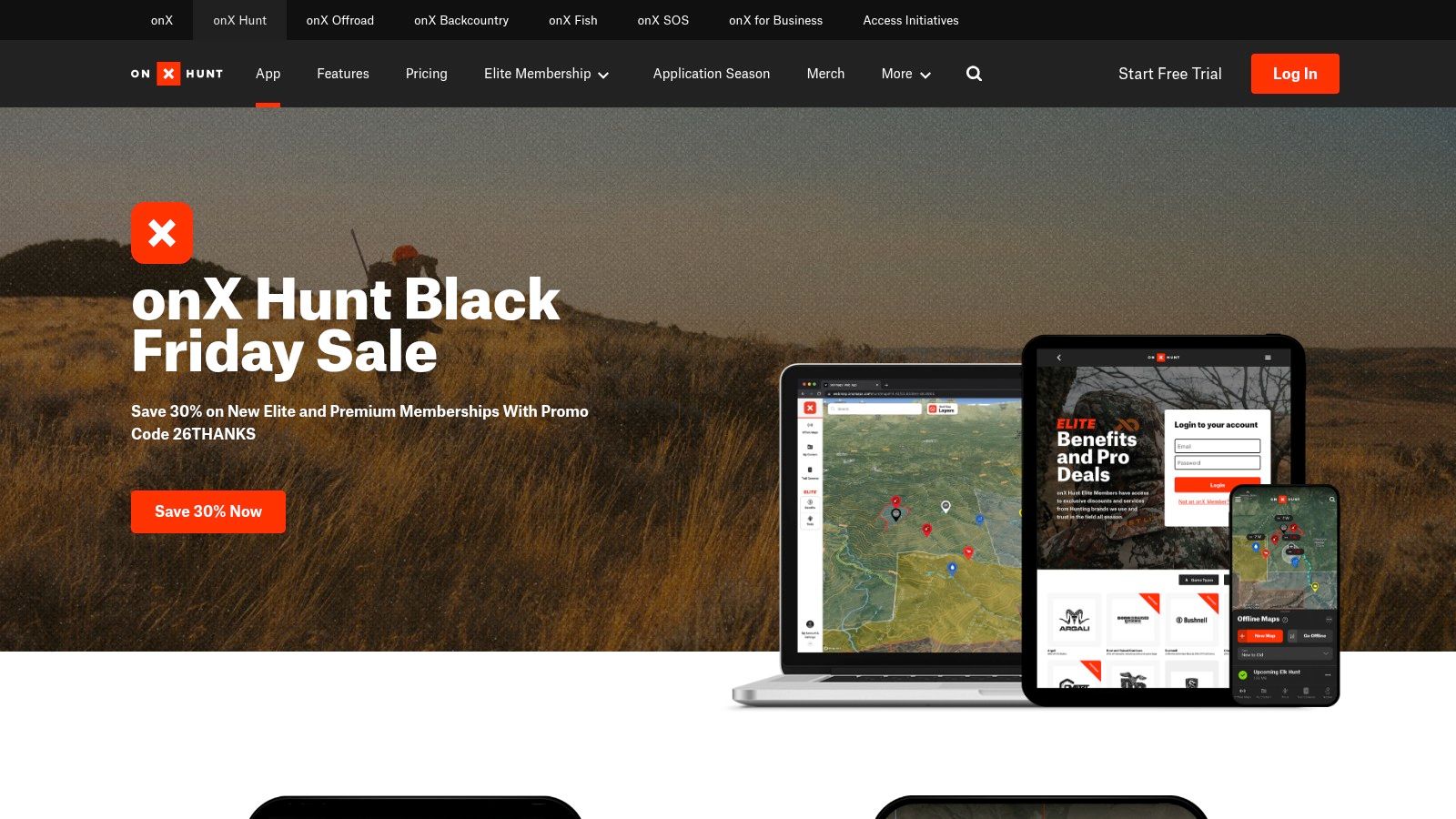
onX Hunt is a strong fit when hunting navigation is the main job. Private ownership, public-land boundaries, hunting units, waypoints, tracks, and offline maps sit within a hunting-focused workflow. Satellite, topographic, and terrain views help you connect ownership with ridges, drainages, and potential approaches.
Published onX Hunt membership pricing lists Premium at $34.99 annually for one state or $49.99 for two states, and Elite at $99.99 annually or $14.99 monthly, with a 7-day trial advertised. Confirm the current package and checkout terms before purchasing.
The state-coverage trade-off
A restricted-state plan makes sense if you hunt close to home. It becomes less attractive when you regularly scout across state lines and need ownership information on both sides.
- Parcel accuracy: Owner labels help identify a property, but they don't establish a surveyed boundary.
- Public-land layers: Pair ownership with hunting units and a verified entry route.
- Offline use: Download the intended area before departure, then check that ownership and waypoints remain visible without service.
- Hunting needs: Wind, weather, route sharing, and desktop planning support repeat scouting trips.
The service also advertises Canadian mapping, but check the specific province and ownership layers rather than assuming US-equivalent detail. It isn't an Australian hunting-access solution.
Buy the geographic coverage you'll actually hunt, not the package with the longest feature list.
3. HuntStand
HuntStand deserves a look if you're managing stands and hunting-property information as well as navigating. Its combination of property lines, ownership details, public hunting land, imagery, tracking, and stand reservations is useful for a group coordinating activity on familiar ground.
The HuntStand subscription page lists Pro at $34.99 annually and Ultimate at $99.99 annually, although app-store prices may differ. Pro includes nationwide US property lines; Ultimate adds forecasting features such as species activity predictions and rut maps.
Better for management than parcel lookup alone
A deer hunter keeping stand locations, approach routes, and hunting-area notes together may get more value from this bundle than someone who only needs an owner's name. Forecasting is a separate buying decision, though. Don't pay for activity predictions unless you'll use them alongside wind, habitat, and actual sign.
- Strength: Nationwide US ownership information avoids choosing a restricted-state parcel package.
- Field utility: Offline mapping, imagery, terrain views, and hunting layers support scouting and navigation.
- Limitation: The subscription page describes ownership information as US-only, so don't assume equivalent parcel coverage in Canada or Australia.
Our HuntStand versus onX comparison is useful if those are your finalists. Compare the same hunting property in each app, especially public-land edges and small access corridors, rather than choosing from screenshots of unrelated terrain.
4. BaseMap
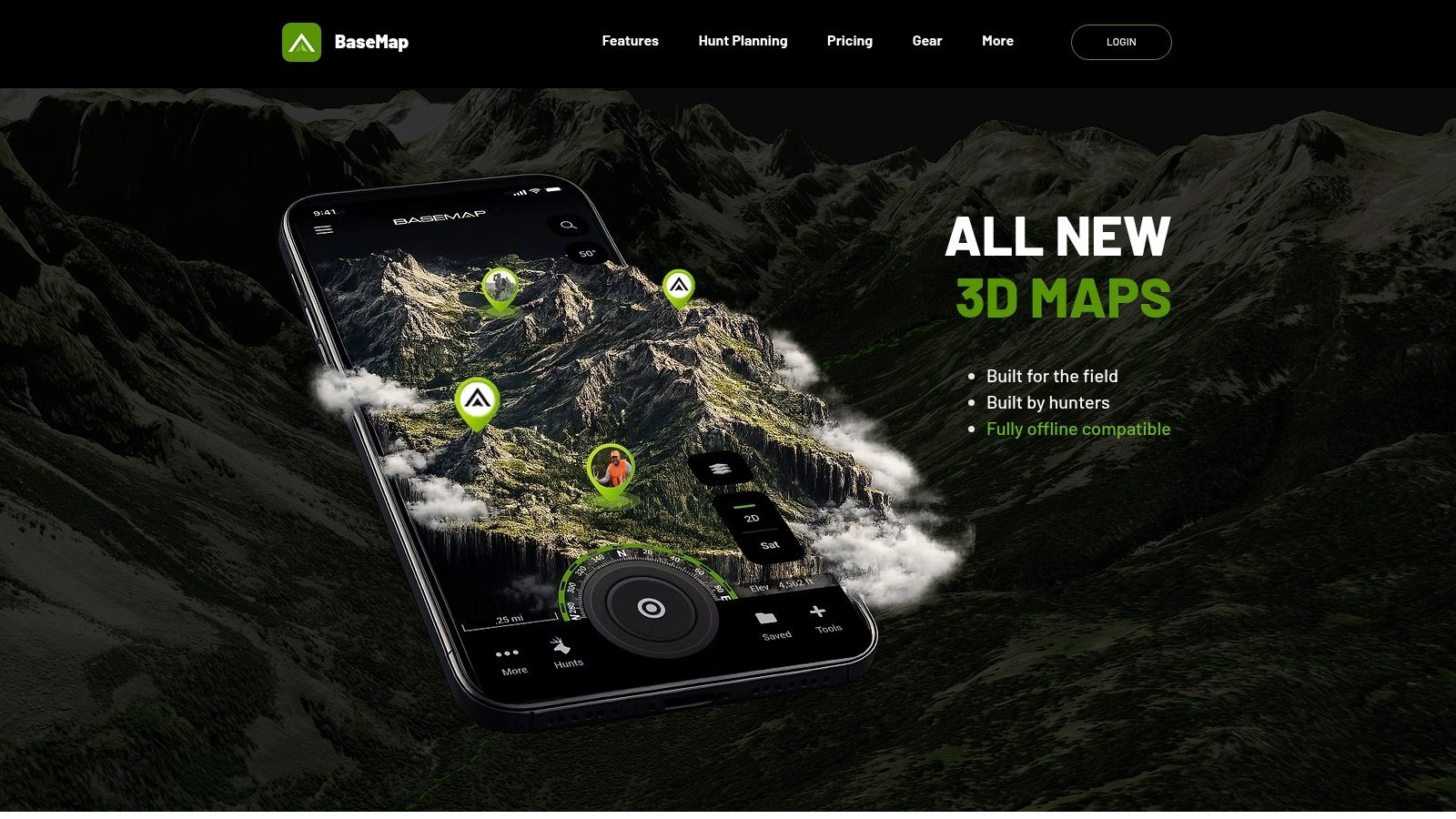
Crossing state lines shouldn't mean discovering that your ownership layer stops at the border. BaseMap's paid plans include nationwide US ownership coverage, with public-land maps, offline navigation, GPS tracking, location sharing, and hunting-planning tools.
BaseMap lists Pro at $39.99 annually, Pro Advantage at $69.99, and Pro Ultimate at $99.99; it also advertises monthly parcel-data updates and a land-ownership guarantee. Read the guarantee's eligibility conditions rather than interpreting it as unconditional legal protection.
Freshness matters more than a sharp-looking line
An update schedule is useful, but it doesn't prove that every county has supplied a recent ownership change. Check the underlying record when a sale, disputed fence, or unfamiliar owner makes access uncertain.
The BLM's public-access priorities announcement identified 606 priority geographic areas covering about 4.7 million acres in 13 Western states with access problems. That's why a public-land overlay needs a legal route, not just an appealing destination.
- Best use: Traveling US hunters who want ownership maps and hunt planning together.
- Trade-off: Draw, harvest, and planning features vary by subscription tier.
- Coverage caution: Don't assume equivalent Canadian or Australian ownership coverage from nationwide US marketing.
Use this guide to finding private hunting-land maps when you need to work from a parcel label toward official ownership verification.
5. HuntWise
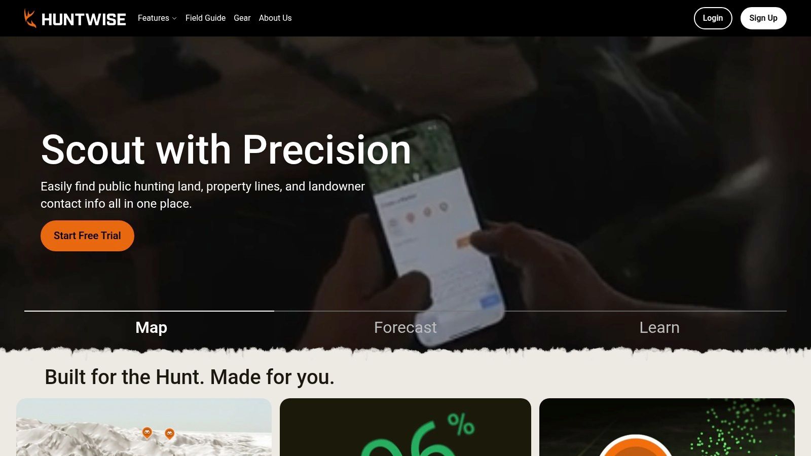
If your scouting revolves around stands, wind, and predicted animal activity, HuntWise packages those decisions alongside ownership mapping. Its parcel boundaries and owner information support access research, while WindCast and HuntCast address where and when you might hunt.
HuntWise advertises boundaries across all 50 states and lists Pro at $4.99 per month billed annually and Elite at $9.99 per month billed annually. Check the annual charge, trial conditions, and included tools before subscribing.
Separate ownership from authorization
Owner phone lookup can reduce the work of finding a contact, but a listed name or number isn't confirmation that you've reached someone authorized to grant permission. Entity ownership creates another complication: an LLC or trust label may not identify the person managing hunting access.
The HuntWise private-land permission guide provides a useful starting point for turning parcel discovery into an access request. Keep the permission terms with the parcel, including allowed activities, entry locations, and any restrictions.
- What works: Combining ownership maps with wind-based stand planning.
- What needs checking: State-specific layer availability and the offline layers included in your membership.
- What may be unnecessary: Forecasting bundles if your real requirement is parcel lookup.
Treat this primarily as a US hunting comparison. Confirm Canadian functionality separately, and don't assume Australian public-hunting information is included.
6. GOHUNT Maps
GOHUNT makes the strongest case when the mapping subscription supports a broader western hunt plan. Unit profiles, draw odds, and hunt-finding tools matter if you're deciding where to apply, not merely locating a property corner.
GOHUNT Maps advertises public- and private-land boundaries across all 50 states, offline maps, and an Insider membership at $14 per month billed annually. Confirm current offers and membership inclusions at checkout.
Research value versus mapping cost
The terrain tools, waypoints, GPS tracking, and sharing support scouting after you've chosen a hunt. Historical imagery and some terrain-analysis tools are web-only, so finish that desk work before relying on the mobile app in the field.
A western hunter also needs to distinguish the agency managing the land. The BLM hunting and fishing page describes approximately 245 million acres under its administration, supporting multiple uses rather than hunting alone.
- Strong fit: Western big-game hunters who will use application research and mapping together.
- Weaker fit: Hunters seeking an inexpensive parcel viewer without draw-research tools.
- Offline priority: Save the access route, surrounding ownership, and alternate exit, not just the hunt unit's interior.
A promising unit and a reachable trailhead are different decisions. Verify both before committing to a hunt.
GOHUNT's described ownership and research offering is US-focused. Don't buy it expecting equivalent Canadian Crown land or Australian state-forest access coverage.
7. Spartan Forge
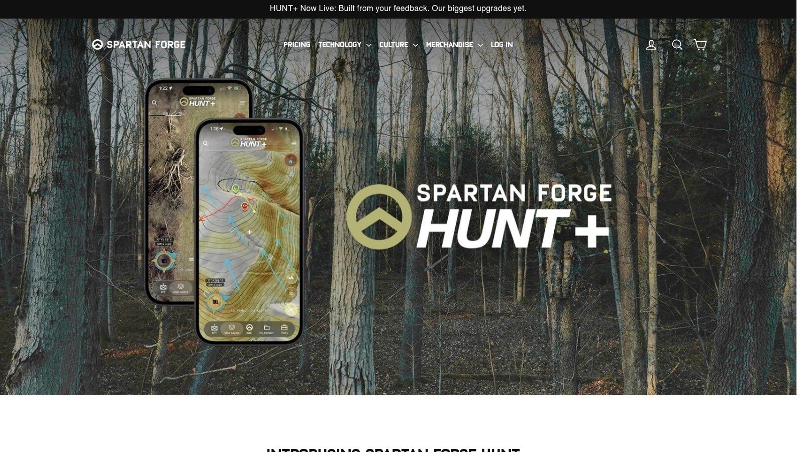
A bench can look perfect on LiDAR and still sit one fence wrong. Spartan Forge earns its slot when terrain study drives the plan: LiDAR, high-resolution and historical imagery, crop layers, and movement predictions extend it past ownership lookup into hunt planning.
Spartan Forge lists plans starting at $79.99 annually or $12.99 monthly, with a 7-day trial advertised. The US App Store rating is worth a glance, but local layer coverage should carry more weight than an aggregate score.
Inspect the access layers first
Detailed terrain does not fix an unclear public boundary. Public-land boundary detail can vary by area, so inspect your actual hunting area during the trial rather than assuming every layer is equally complete.
Judge it on parcel accuracy, public-land layers, offline access, and hunting need. The LiDAR and imagery can expose subtle breaks worth checking on foot; offline maps, wind, and weather can support approach and setup choices. Predictions and the AI assistant matter less if owner lookup is the only job.
Say a promising bench touches a neighboring parcel. Use the imagery to mark entry, glassing point, and exit, then verify the property edge and lawful approach before walking it.
Check geography before subscribing. The described feature set does not establish equivalent private-owner records or hunting-access coverage in Canada and Australia.
8. Gaia GPS
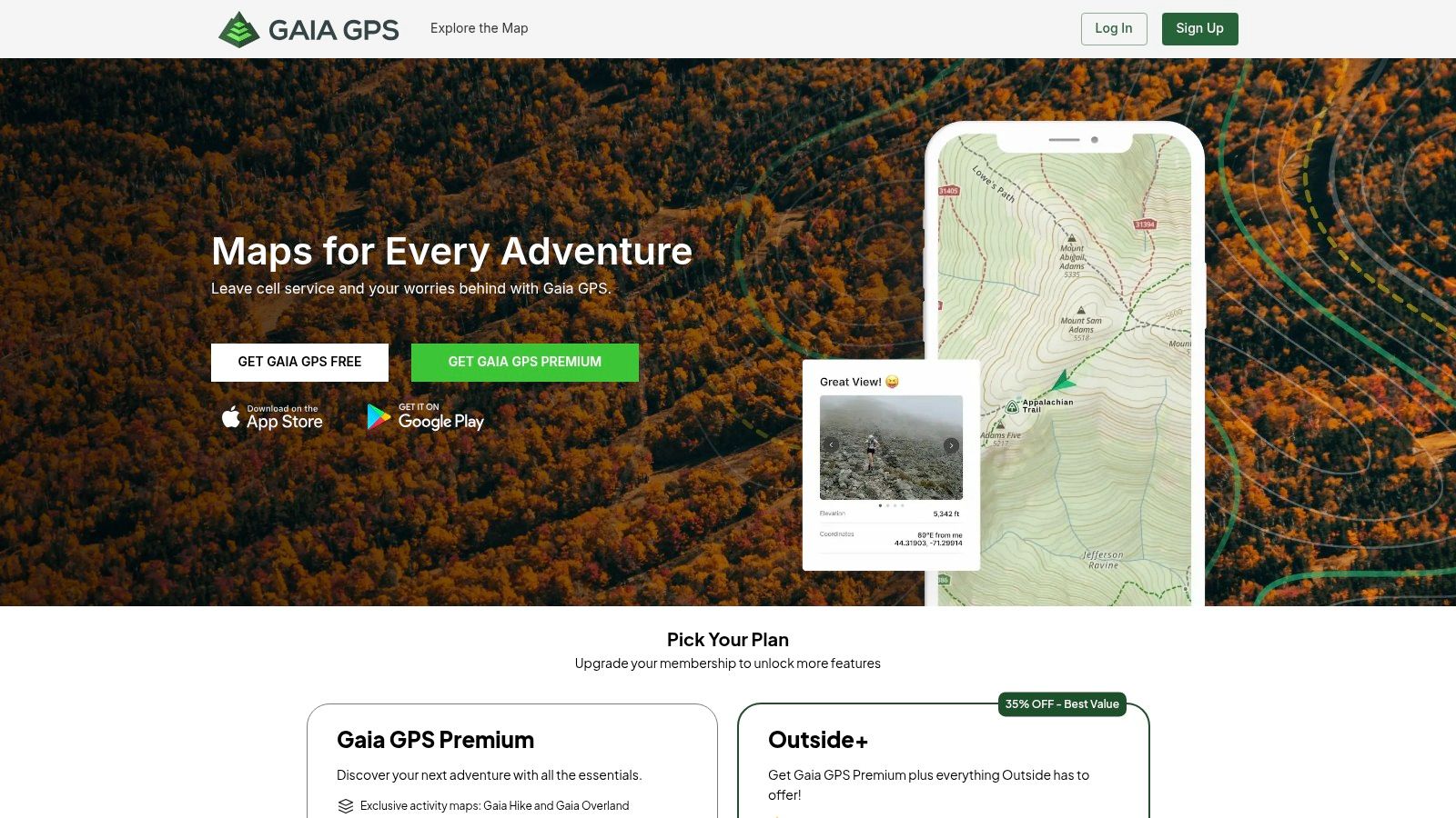
Gaia GPS is the general outdoor navigator in this comparison. It makes sense if the same app needs to handle hunting trips, hiking routes, and vehicle-based exploration rather than ownership lookup alone.
The Gaia GPS website describes layered outdoor mapping and offline navigation; its US App Store listing prices Premium at $59.90 and Premium with Outside+ at $89.90, with more than 250 map sources and overlays available through Premium. Verify the billing period and current bundle at checkout.
Flexible maps, less hunting specialization
Premium includes private- and public-land overlays and US hunting maps, including GMUs. The free tier provides basic GPS, waypoints, and track recording, but it isn't a substitute for paid ownership layers.
- Best feature: Combining different map sources to understand routes, terrain, and land context.
- Main compromise: A broader outdoor interface rather than a workflow centered on landowner contacts and hunting regulations.
- Offline test: Confirm that each selected overlay downloads and remains readable at the scale you'll use.
Our guide to free land ownership maps explains where no-cost resources can supplement an app.
Gaia's broader outdoor mapping can be relevant outside the US, but geographic map availability and hunting-access intelligence aren't the same thing. Canadian and Australian hunters should inspect the particular Crown land, public-land, and regulatory sources they need rather than assuming the US hunting overlays have direct equivalents.
9. i-Hunting GPS Maps App
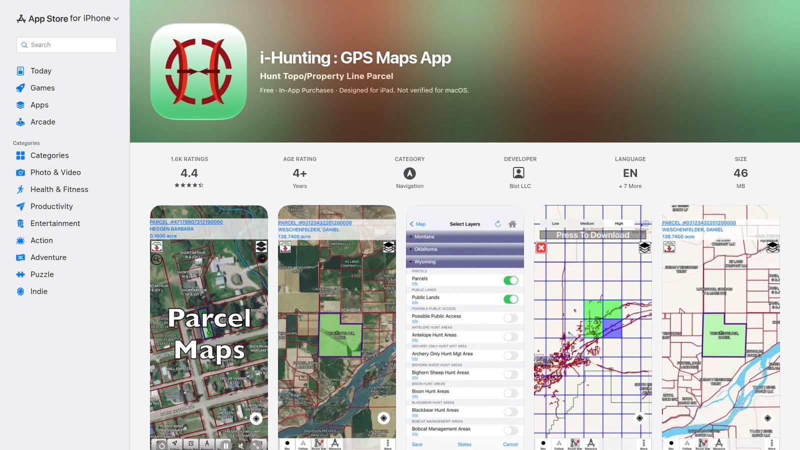
i-Hunting takes a different purchasing approach from the subscription-heavy options. Its Apple listing describes state and multi-state map purchases, parcel ownership, public lands, hunting zones, offline vector maps, GPS tracks, and waypoint importing.
The i-Hunting GPS Maps App listing shows $19.99 for one state, $21.99 for five states, and $29.99 for all states. Confirm what the purchase includes, how updates work, and whether the same offer applies to your device.
Check the basics before buying broadly
The appeal is straightforward: hunting-oriented parcel information without automatically choosing a conventional annual mapping subscription. The limitation is that the listing provides less detail about supporting workflows and reputation than some larger competitors.
- Parcel use: Check ownership labels and parcel coverage in the county you hunt.
- Public-land use: Inspect whether the hunting-zone and public-land layers answer your access questions.
- Offline use: Test vector maps, saved waypoints, and track recording without connectivity.
- Device caution: The cited listing is for Apple devices; don't assume matching availability elsewhere.
I'd prioritize a successful local-area test over the attraction of a broad map purchase. An inexpensive package isn't useful if a needed layer is missing or the interface makes field navigation awkward.
This is a US-oriented option. Its described state purchases don't establish Canadian provincial ownership coverage or Australian public-hunting access information.
10. LandGlide
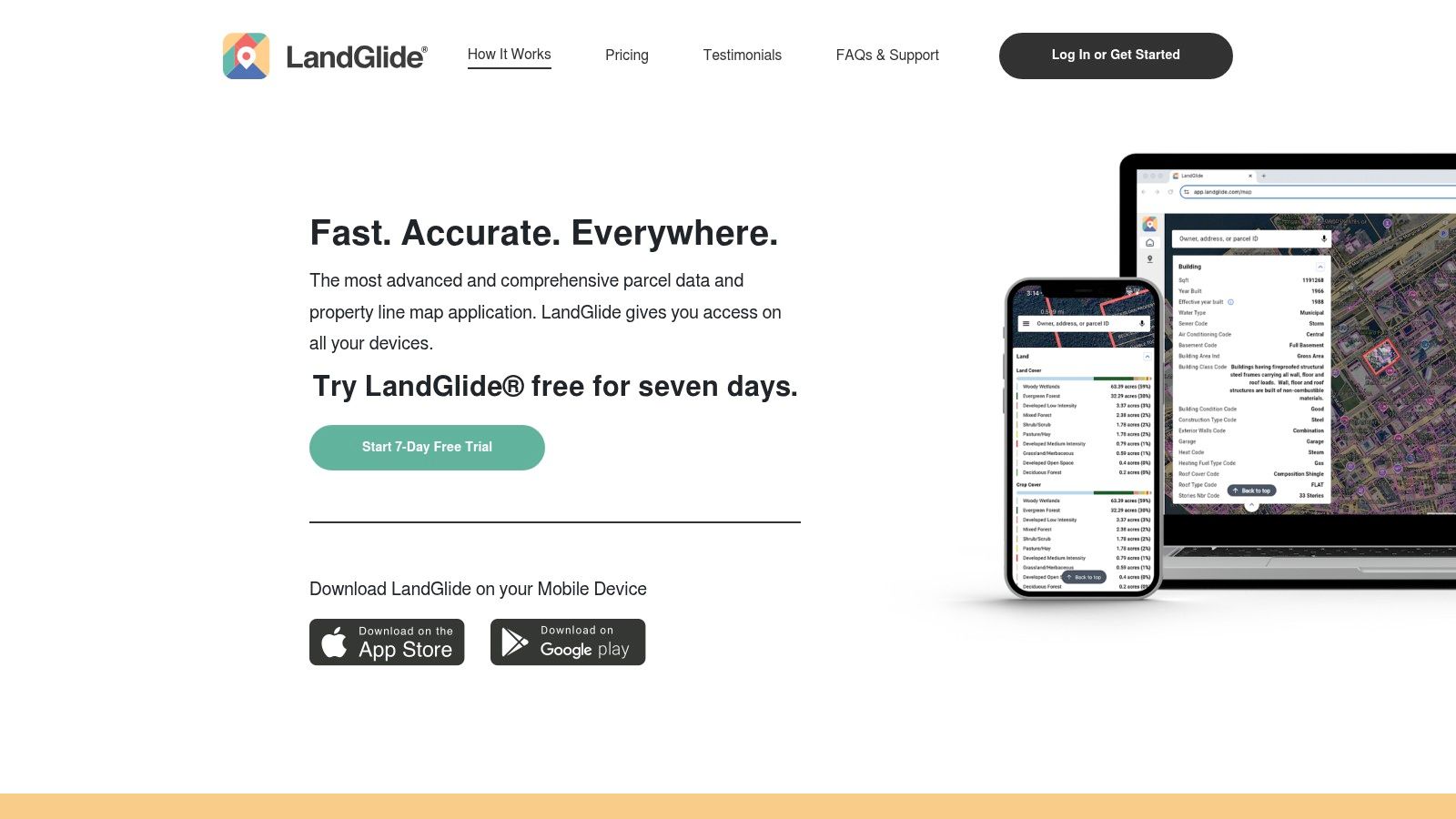
LandGlide is a property-research tool first, not a hunting navigator. Search by owner, address, or parcel number when your immediate question is who owns a field, woodlot, or access strip.
LandGlide describes coverage across more than 3,200 US counties, with a 7-day free trial, followed by $9.99 monthly or $99.99 annually. Available details include owner information, mailing addresses, acreage, and parcel IDs.
Useful before the permission request
Mobile and desktop access, favorites, notes, and exports help organize property research. That's valuable when you're identifying neighboring owners or preparing a targeted permission request rather than browsing an entire hunting unit.
- Strength: Focused parcel search and property details.
- Limitation: It doesn't provide the hunting-unit planning and access workflow of a dedicated hunting app.
- Offline caution: Verify the offline functions you need before treating it as a backcountry navigation tool.
Parcel lines remain reference information, not a survey. A mailing address also doesn't prove that the recipient is the person authorized to approve hunting access.
I'd choose LandGlide for general US property investigation, then use a hunting-focused map and official agency information for the hunt itself. Don't assume its US county coverage extends to Canadian land registries or Australian property records, and don't interpret an ownership search result as confirmation that a parcel is open.
Land Ownership Map Apps Compared
The columns that decide real hunts are parcel accuracy, public-land layers, offline access, and whether the app is built for hunting rather than general navigation. Prices shown are each app's entry point.
| App | Starting Price | Country Coverage | Private Land Data | Offline Maps | Best For |
|---|---|---|---|---|---|
| HuntScout | Free plan; Pro available with a 7-day trial | US and Canada; public hunting areas in Australia and New Zealand; boundary and protected-area maps for the UK, Germany and Austria | 100M+ private parcels with owner information in the US and Canada | Yes; unlimited downloads with Pro | Recommended for hunters who need private-parcel maps, public lands and hunting zones across the US and Canada |
| onX Hunt | US$34.99/year | US | Private-property boundaries and owner information | Yes | Hunting-specific maps and offline navigation |
| HuntStand | US$34.99/year | US | Nationwide property lines and ownership information | Yes | US parcel maps with hunting and land-management tools |
| BaseMap | US$39.99/year | US, all 50 states on paid plans | Nationwide private-land ownership maps | Yes | Nationwide ownership maps and hunt planning |
| HuntWise | US$4.99/month, billed annually | US, all 50 states advertised | Land boundaries and owner information; layers vary by state | Yes, on the paid plan | Parcel maps combined with hunting forecasts |
| GOHUNT Maps | US$14/month, billed annually | US, all 50 states | Public- and private-land boundaries | Yes | Mapping paired with western big-game research |
| Spartan Forge | US$79.99/year | US; Canada and Australia not established | Public- and private-land boundaries with ownership details | Yes | Detailed scouting imagery and deer-movement predictions |
| Gaia GPS | US$59.90 | US | Private-land overlays | Yes | Outdoor navigation beyond hunting |
| i-Hunting: GPS Maps App | US$19.99 for one state | US | Parcel boundaries and ownership details | Yes | State-based hunting maps with offline vector data |
| LandGlide | US$9.99/month or US$99.99/year after trial | US, 3,200+ counties | Parcel boundaries and property-owner details | Limited; confirm coverage before relying on it offline | General property and owner lookup |
The pattern matters more than any single price. Every other app listed is a paid product with US coverage, while HuntScout's free tier already includes public land maps, season dates and zone lookups before the Pro trial. Gaia GPS and LandGlide stay useful for general navigation and owner research rather than unit planning.
How to Choose and Use a Land Ownership Map App
A US deer hunter researching neighboring parcels needs a different tool from a Canadian hunter sorting Crown land restrictions or an Australian hunter checking state-forest access. Pick the country and the access problem first, then the app.
For US hunting, weigh ownership records, BLM and USFS boundaries, state wildlife areas, hunting units, and access-program layers. For Canada, check the actual province: private-parcel availability, Crown land policy, and WMU or WMZ coverage differ from one province to the next, so an app that maps titled parcels in one province may still lack zone boundaries or Crown land detail in another.
Coverage for cross-border hunters
HuntScout combines US and Canadian private parcels with public-land and hunting-zone information in one app, while its Australian coverage focuses on the public land open to hunting, including state forests and public hunting areas. onX advertises Canadian coverage alongside its US offering; confirm the province and plan before paying. HuntStand, BaseMap, HuntWise, GOHUNT, Spartan Forge, i-Hunting, and LandGlide should be judged primarily on their stated US coverage, while Gaia's international outdoor maps require separate checks for hunting-specific layers.
In Australia, look for state forests, closures, exclusions, and the applicable state authority's requirements, including NSW DPI hunting or Game Management Authority Victoria where relevant. A map that renders terrain internationally does not necessarily tell you where hunting is permitted.
Before you leave home
- Download the whole approach: Save topo or satellite maps covering the hunting area, parking, the access route, neighboring parcels, and an alternate exit at useful detail for zero-reception ground.
- Test without service: Enable airplane mode, reopen the app, and confirm boundaries, hunting zones, waypoints, and GPS still resolve. The phone's built-in GPS chip should still fix your position.
- Verify uncertain ownership: Compare parcel names and IDs against county assessor or land-registry records, and use a plat or survey where a boundary is disputed.
- Check current access: Review the land manager's notices and wildlife agency rules for closures, registration, reservations, and permitted activities.
- Record permission: Get authorization from the owner or an authorized representative and save the agreed entry points and restrictions. A parcel line on any map is not permission to hunt.
Nebraska shows why ownership alone settles nothing. The state's Public Access Atlas announcement describes 435,000 acres of private land open to hunters through Open Fields and Waters. Private can be accessible, and public can still carry restrictions.
For a one-state hunter, compare onX Premium against the nationwide options. For a cross-border hunter, HuntScout's North America plan covers the US and Canada in a single lower-cost subscription. For a western draw hunter, GOHUNT's research may justify the broader membership; for a general parcel researcher, LandGlide is the more focused tool.
The best map is the one you've checked against official records, tested offline, and paired with lawful access.
Put private parcels, public land, hunting zones, and offline navigation into one scouting workflow with HuntScout. Start with the free public-land and season tools, then use the Pro trial to inspect ownership coverage and run a downloaded map in airplane mode before heading out.