The advice you'll hear most often about finding an onX Hunt free alternative is that free tiers have caught up: that you can pull parcel lines, hunting units and offline tiles without paying a cent. Half of that is true, and the false half is the one that costs money, or worse, a trespass charge.
What's free now is public land. BLM, Forest Service and state parcels, hunting units and season dates are widely available at no cost, because the underlying data is public and the agencies publish it. What isn't free, in almost every app on this list, is the private parcel layer with owner names and the pre-downloaded offline map. Those are the two features hunters subscribe for.
So judge every candidate on four field decisions. Can I see who owns this parcel? Can I see public and Crown land and whether hunting is allowed there? Can I see the hunting unit and its season? And can I open all of it with no signal, standing at a trailhead at 5am?
The ten apps below are ranked on those four points, with a note on how each covers the US, Canada and Australia. If you're running a dedicated handheld alongside a phone, the Mobile Systems Limited GPS roundup covers the current units worth carrying as a backup.
Table of Contents
- 1. HuntScout
- 2. HuntStand
- 3. BaseMap
- 4. HuntWise
- 5. WikiHunt
- 6. Hunting Points
- 7. OpenHunt
- 8. Gaia GPS
- 9. CalTopo
- 10. Avenza Maps
- How the Free Alternatives Compare on Price, Coverage, Private Land and Offline Maps
- Choosing a Free Hunting Map App Before You Need One
1. HuntScout
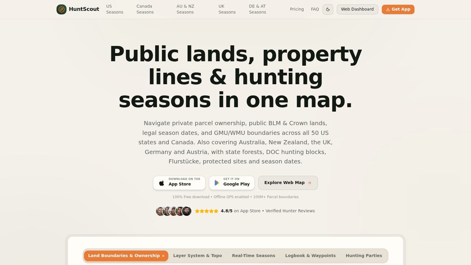
For a hunter who wants parcel lines and offline maps without paying onX prices, HuntScout is the first app worth checking. It runs on iPhone and iPad, Android through Google Play, and a web map in Chrome and Safari, and it covers all 50 US states and all 10 Canadian provinces in one subscription instead of selling states one at a time.
The coverage answer differs by country. In the US it layers more than 100 million private land parcels with landowner names, tax parcel IDs and boundary overlays, alongside BLM, USFS, state land and WMA layers, plus GMU and hunt zone boundaries with the seasons attached. In Canada the same map carries General Crown land with hunting permissions, provincial WMU boundaries and species regulations. Coverage extends further to Australia, New Zealand, the UK, Germany and Austria for state forests, DOC hunting blocks, Flurstücke, protected sites and season dates, and the app itself runs fully in German.
What the free plan covers
The free plan costs $0 and keeps public land overlays for BLM, USFS and state land, 2026 hunting season calendars and opening dates, GMU and WMU boundary search with rules, high-res satellite and 3D topo maps, GPS waypoint drops and cross-platform access. That answers "where am I and what's open" on public ground without a card.
Private parcels, unlimited offline downloads and the advanced layers sit in Pro, and hunters can upgrade at any time. Canada Pro is listed at $29.99 CAD per year for all 10 provinces, full Crown land policy and parcel mapping, WMU boundaries and private parcel boundaries. North America Pro carries a 7-day free trial and adds the Deer Movement Forecast across the US and Canada, an AI Hunting Regulations Assistant, and hunting parties with live waypoint sync. The app holds a 4.8 out of 5 rating on the Apple App Store.
Where it stops
A parcel line is a research tool, not permission. HuntScout is informational, not a legal certification or a live GPS substitute, and the app itself directs users to confirm dates, bag limits and access rules with the issuing wildlife agency before hunting. No boundary layer outranks the landowner at the gate.
The field test: load your main property on the free plan, then put the phone in airplane mode and try to open it. If the parcels or the map tiles vanish, you're deciding on Pro, not using a free app.
For a side-by-side look at the rest of the field, the best hunting apps roundup lines them up, or read on for the direct alternatives.
2. HuntStand
HuntStand is the app most hunters try first when they want to stop paying for onX, and the free tier is usable for scouting. Public land maps, satellite imagery, stand and waypoint planning, and track recording all work without a card. What you don't get is the layer that decides whether you can legally step off the road.
Ownership sits behind Pro. That plan adds property ownership information, public land maps and unlimited offline maps, listed at $34.99 per year. Ultimate, listed at $99.99 per year, adds the advanced forecasts. So the free tier is a long trial, not a mapping tool you can build a season on.
The reason ownership matters more than any other layer is scale. The Congressional Research Service report on federal hunting access records that from 1996 to 2006 more than 80% of hunters accessed private land, and that private land remained the preferred option. The same report puts federal ownership at roughly 640 million acres, about 28% of U.S. land, while noting that some federal properties, including many national parks, don't permit hunting.
What to test first: open the property you hunt most and see whether the ownership layer renders or greys out. Greyed out means you're evaluating a paywall, not a free app.
US coverage is strong, Canada is partial, and Australia isn't served by the parcel data. To see how it lines up head to head, the HuntStand vs onX comparison breaks down the layer differences. Website: huntstand.com.
3. BaseMap
BaseMap's free Basic plan is the closest thing to a straight answer for a hunter who wants GPS mapping, hunting-unit boundaries and track recording without a subscription. It's narrower than the paid tier in one specific way, and that gap is the whole decision.
Pro includes more than 800 layers, nationwide parcel and owner data, government-land maps and offline use, listed at $39.99 per year. Higher tiers are listed at $69.99 and $99.99 per year. A Pro trial is advertised, so read the terms before you count on it.
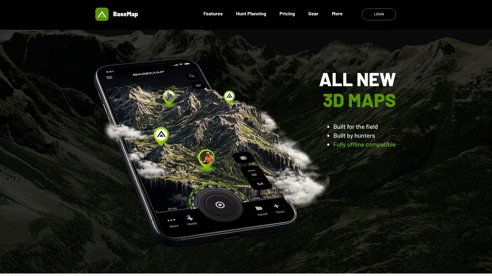
Eight hundred layers is a selling point and a trap. Most of them are irrelevant to your unit, and a crowded layer menu slows down the one check you do in the dark. Turn off everything except ownership, unit boundaries, public land and the topo you trust.
Government-land layers deserve a specific warning. The Bureau of Land Management states that hunters must obtain landowner permission before entering private property, and may not cross private land to reach public land without permission (BLM hunting and fishing access). BLM's Public Lands Access Data project publishes GIS data for legal access routes, including easements across private ground, which is the layer that separates a public parcel from a reachable one.
- Free tier strength: unit boundaries and tracking work without paying.
- Free tier limit: parcels, owner names and offline maps don't.
- Best fit: US hunters who map mostly public ground and want an inexpensive paid upgrade later.
Canada coverage is thin and Australia isn't a target market. If you're still weighing whether the ownership layer is worth paying for at all, the free land ownership map guide explains what the free sources show. Website: basemap.com.
4. HuntWise
HuntWise wins on timing rather than boundaries. It pairs mapping with wind tools and HuntCast animal-specific predictions, which is exactly what a whitetail hunter wants in the last week of October. The download is free, but land boundaries and landowner information are paid features.
Pricing is monthly with an annual commitment: Pro at $4.99 per month billed annually and Elite at $9.99 per month billed annually. Confirm the checkout total and trial terms before you commit, because monthly framing hides the yearly number.
Here's the access problem the forecast can't solve. Montana Fish, Wildlife & Parks reports that Montana holds nearly 16 million acres of National Forest land and more than 8 million acres of BLM, and most legally accessible acreage is generally open to hunting (Montana FWP public land access). But hunters still need permission to cross adjacent private land to reach either. The agency points to public roads, navigable waterways and adjoining state or federal land as possible lawful routes, and its program for opening public lands can open crossings of enrolled private parcels.
That's a landowner question, not a weather question. HuntWise answers the second one well and hands the first back to you.
- Strongest feature: HuntCast predictions and wind tools inside the map view.
- Weakest assumption: that you already know whose fence you're crossing.
- Coverage: US-focused, with limited Canadian support and nothing for Australia.
Website: huntwise.com.
5. WikiHunt
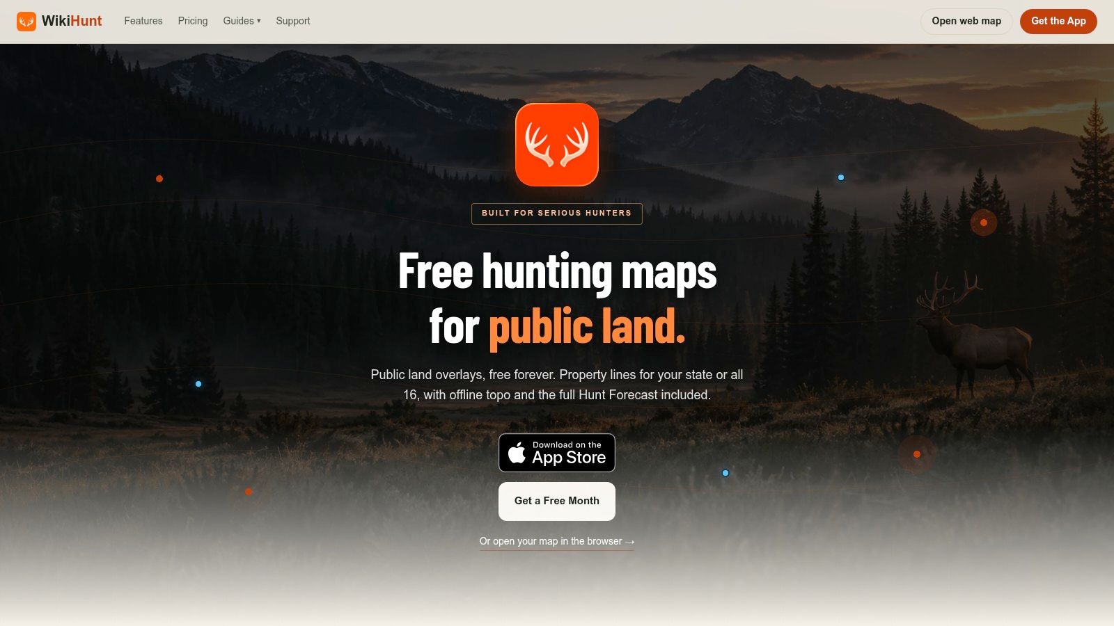
WikiHunt packs a surprising amount into the free tier: public land overlays, game-unit maps for 21 states, GPS track recording, hunting weather, season dates and waypoint import and export so you aren't starting from scratch if you switch. For a public-land hunter who plans at a desk and hunts from a phone, that's a serious free starting point.
The narrowing happens on parcels. Private boundary coverage runs in selected states only, and unlimited waypoints plus offline maps require a subscription: $7.99 per month or $39.99 per year for All States, or $19.99 per year for a single state.
Unit maps don't settle legality either. The Forest Service says hunters must follow state laws on seasons, dates and licensing, that individual forests or grasslands may close areas to hunting, and that discharging a firearm, including a bow, is prohibited in or within 150 yards of a developed recreation site, residence or similar place (USFS hunting rules). It also advises written landowner permission and a map, because private parcels are intermingled with National Forest acreage.
A rule that holds across every app: if the boundary line and the regulation disagree on the ground, the regulation wins, and the ranger district is the tiebreaker.
- Best for: public-land hunters in the 21 states with unit maps.
- Watch out: offline access is paid, and parcel states are limited.
- Coverage: US only in practice.
Website: wikihunt.app.
6. Hunting Points
Hunting Points combines free mapping with a field logbook: topo, satellite and terrain styles, waypoints, track recording, current weather and harvest logging. It's the app I'd hand a new hunter who wants to mark sign and record routes without a subscription argument.
The ceiling is low, though. Free saving tops out at five locations, tracks and areas, which a single scouting weekend will burn through. Parcel lines and owner names sit behind Premium and require an internet connection, so the ownership layer stops working in the same dead zones where you'd most need it.
That signal dependency matters because hunters do use phones in the field when the workflow is quick. South Carolina's 2024 deer report shows 93% of reported deer harvests came through the state's Go Outdoors SC smartphone app, against 4% by phone or text and 3% through the website (South Carolina DNR 2024 deer harvest report). Read it as a channel preference and it still tells you the field workflow should be mobile and fast. Hunting Points gets the logging half right on free; the parcel half waits for a paid plan and a cell tower.
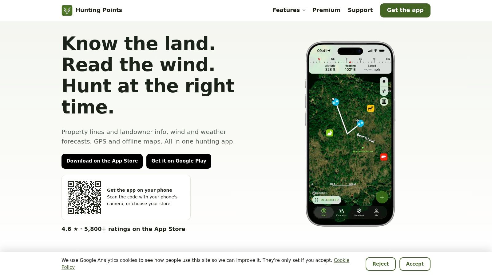
- Free tier strength: GPS, tracks and harvest logging on public ground.
- Free tier limit: five saved items, and parcels that need a connection.
- Premium: listed at $29.99 per year on the US App Store.
Treat it as a US hunting app and confirm your ground is covered before you rely on it for a trip. Website: huntingpoints.app.
7. OpenHunt
OpenHunt is a public-land app first, and the feature set matches that focus. The store listing describes maps, boundaries, terrain and calculations as free, and it publishes the source and date for each map layer, so you can see how stale a boundary is before you trust it. Pro, listed at $49 per year, adds syncing, sharing, offline pack delivery and alerts.
That last item is the free-tier limit. Offline pack delivery sits behind the paywall, so the free maps stop being useful roughly where your signal does.
The free mapping is real, and so are the caveats. Unit, season and draw information covers 16 states, and the app warns that parcel and boundary records may be inaccurate or outdated. Treat every line as a starting point, then confirm the parcel against the agency that manages it.
Regulations are where free mapping runs out. Colorado's 2025 guidance added a small-game license and Harvest Information Program survey requirement for coyote hunting, plus a separate $5 permit for several upland bird species (Colorado Parks and Wildlife 2025 season guidance). License categories, access types and tag rules shift like this in every state, season to season, and a boundary layer downloaded last year cannot tell you which ones apply to the ground under your boots.
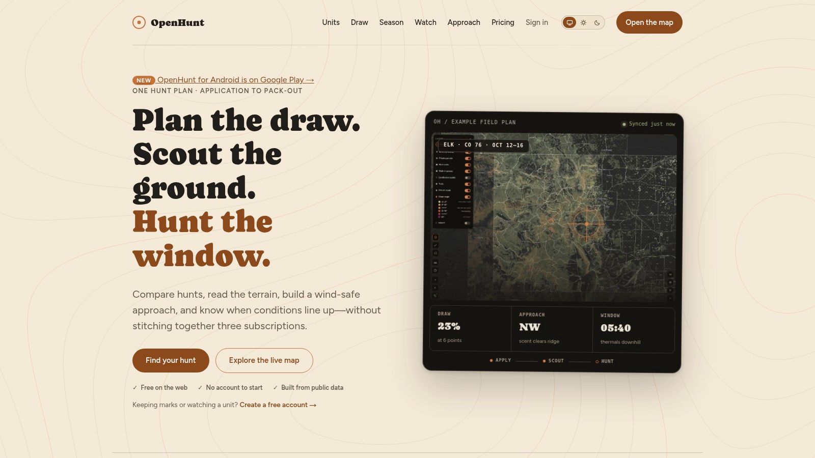
The question free apps don't answer: can I legally hunt this exact spot today, with this tag, in this season, under this access rule?
- Strength: transparent layer sourcing and a public-land-first design.
- Limit: unit data for 16 states, offline packs behind Pro, and records that can lag.
- Coverage: US only.
Website: openhuntmaps.com.
8. Gaia GPS
Gaia GPS is a backcountry navigation app that happens to be useful for hunting. The free version handles basic navigation, waypoints and tracks. Premium adds hunting layers, land ownership, public land overlays and offline map downloads, so check the current membership page for pricing and confirm the layers cover your area before you buy a year.
Hunters who also hike, paddle and drive forest roads get more from it than a hunting-only app delivers. Hunters who need unit boundaries, season dates and draw information find it thin, because that isn't what Gaia is built to do.
Offline is where the gap sits. Nebraska's 2025-26 Public Access Atlas covers more than 1.3 million acres of publicly accessible land, including privately owned Open Fields and Waters parcels, and it tells users to check for updates before going afield (Nebraska Game and Parks Public Access Atlas). Those parcels can carry site-specific rules, so an offline boundary saved last season without current access conditions creates a false sense of permission.
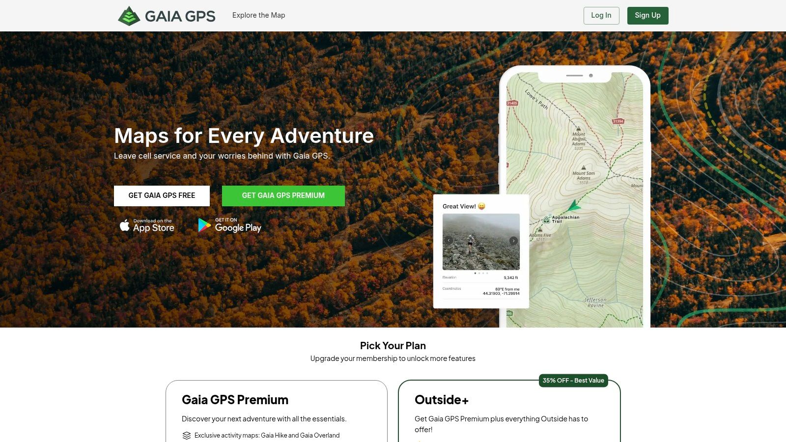
- Free tier strength: a capable general navigation app.
- Free tier limit: no offline downloads, no ownership layers.
- Best fit: hunters whose trips are half scouting, half hiking.
Coverage is global for base maps, with ownership layers concentrated in the US and parts of Canada. Australia has terrain but not the hunting permissions you need. Website: gaiagps.com.
9. CalTopo
CalTopo is a route-planning tool that hunters borrow. The free account supports web planning, map creation and public land layers, which is enough to draw a unit boundary, mark water and trace a ridge route before the season. Offline mobile maps require a subscription: Mobile at $20 per year for offline access, Pro at $50 per year.
Where it earns a place in a hunting bag is drawing and sharing. Custom areas, collaborative maps and printable layouts beat most hunting apps for group planning, and the terrain rendering is excellent for e-scouting steep country.
Where it doesn't earn a place is the field workflow. There are no units with seasons attached, no harvest log, and no regulation link. You'll still need a second app for the legal question, which is why I treat CalTopo as a planning tool rather than an onX replacement.
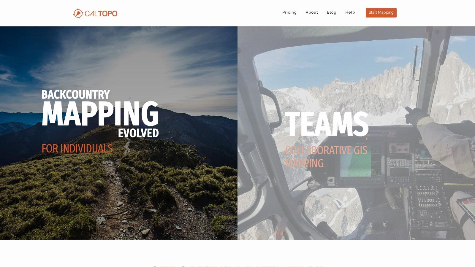
- Free tier strength: powerful drawing, sharing and printing on the web.
- Free tier limit: offline mobile use is paid.
- Best fit: pre-season planning and party coordination, paired with a hunting-specific app.
Coverage is global terrain, with US public land layers the strongest part. Website: caltopo.com.
10. Avenza Maps
Avenza Maps takes a different route entirely: georeferenced maps instead of a built-in layer stack. The recreational plan is free, Avenza Plus is listed at $34.99 per year, and individual maps may cost extra. You download a PDF or GeoTIFF map that carries its own coordinates and your phone becomes a GPS unit pinned to that sheet.
That is exactly what you want when an agency publishes a hunt map. The Forest Service says its digital map series covers all lands the agency administers, and at 1:100,000 scale it covers the continental United States as a download or online basemap, while the Interactive Visitor Map adds roads, trails, recreation sites, wilderness areas and wild and scenic rivers (USFS maps). BLM likewise points hunters to recreation maps and georeferenced PDFs for trip planning.
- Free tier strength: offline GPS on official agency maps.
- Free tier limit: no nationwide ownership database, and maps can cost extra.
- Coverage: depends entirely on which maps you can find for the US, Canada or Australia.
Where it shines: a georeferenced wildlife-area map on your phone in a canyon with no bars is worth more than a subscription you can't load.
Website: avenzamaps.com.
How the Free Alternatives Compare on Price, Coverage, Private Land and Offline Maps
Four columns decide whether a free hunting map is a working tool or a demo: what the paid upgrade costs, which countries the data covers, whether private land ownership is included, and whether the map survives with no signal.
| Item | Listed Paid Price | Country Coverage | Private Land Data | Offline Maps |
|---|---|---|---|---|
| HuntScout (recommended) | US$29.99/year North America Pro (7-day free trial); C$29.99/year Canada Pro | US, Canada, Australia, New Zealand, UK, Germany, and Austria | 100M+ private parcels in the US and Canada | Unlimited downloads with Pro |
| HuntStand | Pro US$34.99/year; Ultimate US$99.99/year | US and much of Canada | Ownership data with Pro | Unlimited maps with Pro |
| BaseMap | Pro US$39.99/year; higher tiers US$69.99 and US$99.99/year | Nationwide US coverage | Nationwide parcel and owner data with Pro | Available with Pro |
| HuntWise | Pro US$4.99/month; Elite US$9.99/month, billed annually | US coverage | Boundaries and owner information are paid features | Offline downloads with a paid plan |
| WikiHunt | US$7.99/month or US$39.99/year for all states; US$19.99/year for one state | Selected states; game-unit maps for 21 states | Parcel coverage in selected states | Paid subscription required |
| Hunting Points | US$29.99/year Premium | US and parts of Canada | Parcel lines and owner information with Premium | Limited offline storage; parcel data unavailable offline |
| OpenHunt | Pro US$49/year | 16 states for unit, season, and draw information | Ownership records; coverage limited | Offline packs with Pro |
| Gaia GPS | Paid Premium subscription, billed annually | Area coverage depends on available layers | Land-ownership layers with Premium | Downloads with Premium |
| CalTopo | Mobile US$20/year; Pro US$50/year | US and Canada map layers | Parcel and ownership overlay available | Paid subscription required |
| Avenza Maps | Plus US$34.99/year; individual maps may cost extra | Depends on available maps | No nationwide ownership database | Offline GPS on downloaded maps |
Read the table by column and the free tiers sort themselves fast. Private land data is the widest paywall in the group: nearly every app treats landowner names and parcel lines as the product, so a free tier that stops at public land handles the scouting half of the job and leaves the ownership question open. Offline maps are the second wall. Several free plans render layers cleanly on signal and go blank in a dead zone. Coverage is the filter I read first: deep US layers are no help on a WMU tag in Canada or a state forest block in Australia.
Choosing a Free Hunting Map App Before You Need One
Pick the app by the decision it has to support, not by the feature list. If your season runs on public land and you mostly need unit lookups, season dates and terrain, a free tier covers nearly everything and you should stay there. If your season runs on private parcels or crosses boundaries you don't own, the ownership layer is the product, and the honest choice is a paid plan or a trial you test properly.
Test before the season opens, not during it. Load your three main areas on the free plan, put the phone in airplane mode, and see what survives. Do the same on the paid tier during the trial. An app that needs signal at the gate fails at the exact moment you're deciding whether to walk in.
Outside the US, the same logic applies with different paperwork. Australia runs public hunting on a patchwork of licence categories tied to land type, species and season. In New South Wales, for example, restricted and general licences determine where and what you can hunt on approved public land, and participation has climbed steadily in recent years. A map without the licence category attached is half a tool in that system.
Canada works the same way through provincial WMUs and Crown land rules, and no single generic access label covers all three countries. Segment your own needs the way the US Fish and Wildlife Service national survey segments participation: by days afield, species and spending, then buy only the layer that matches. For trip logistics beyond the map, this guide to permits, gear and trail prep is a useful cross-check.
Whatever you choose, confirm season dates, bag limits and access rules with the issuing wildlife agency. Download maps while you have signal. Save the local warden's number in the same phone that holds your waypoints.
HuntScout was built for exactly that pre-season test: public land overlays, GMU and WMU lookups and season dates are free forever, and North America Pro adds the 100 million plus private parcels, landowner names, unlimited offline downloads and the AI regulations assistant for US$29.99 a year with a 7-day free trial. It covers all 50 states and all 10 Canadian provinces in one app, plus public hunting areas in Australia, New Zealand, the UK, Germany and Austria, so you're not buying a second subscription to cross a border. Download it at HuntScout, open the ground you hunt most, and put the phone in airplane mode before you decide.